Joyland, Atlanta
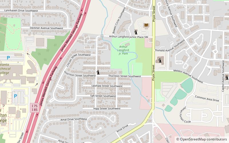
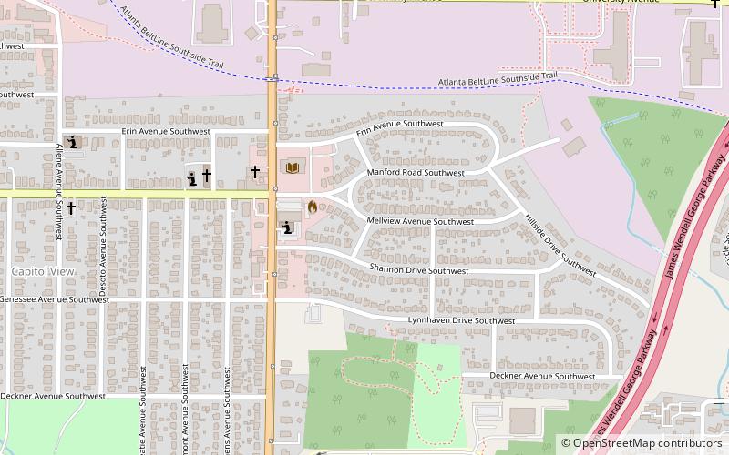
Map
Facts and practical information
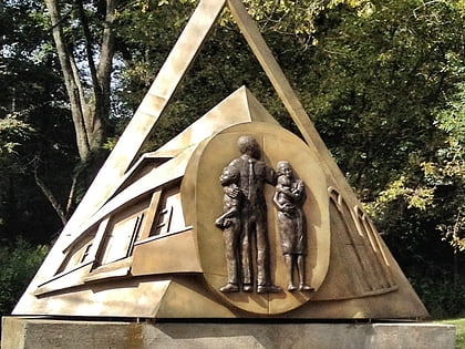
Joyland is a neighborhood of small, single family homes in southeast Atlanta, Georgia and site of a former 1921 amusement park built for African Americans. ()
Coordinates: 33°42'43"N, 84°23'47"W
Address
Southside (Joyland)Atlanta
ContactAdd
Social media
Add
Day trips
Joyland – popular in the area (distance from the attraction)
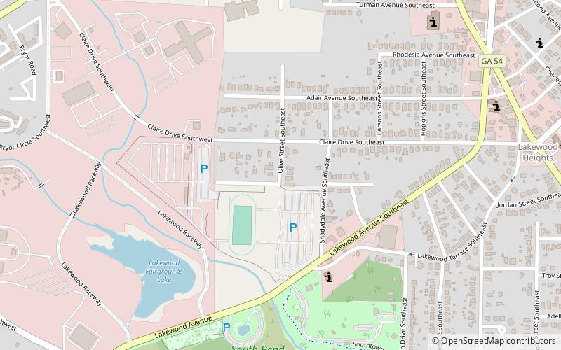
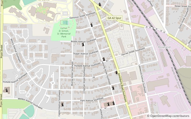
Nearby attractions include: Perkerson Park, Peoplestown, Lakewood Heights, Evangeline Booth College.
Frequently Asked Questions (FAQ)
Which popular attractions are close to Joyland?
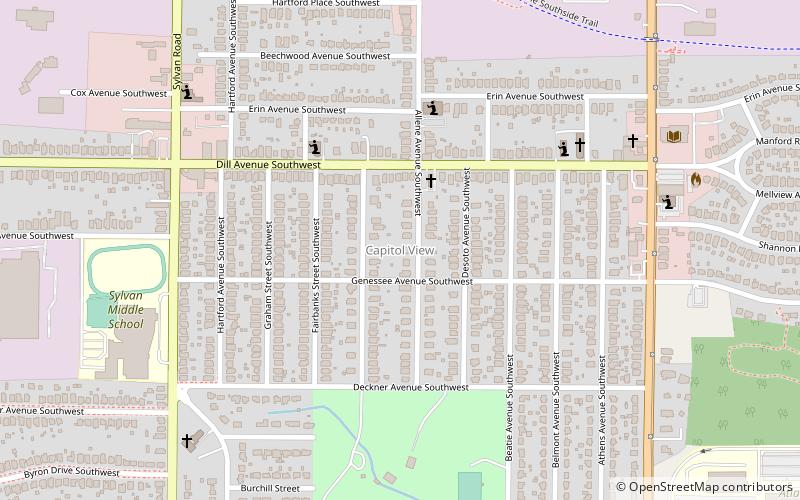
Nearby attractions include Cellairis Amphitheatre at Lakewood, Atlanta (14 min walk), Capitol View Manor, Atlanta (17 min walk), South Atlanta, Atlanta (18 min walk), Lakewood Heights, Atlanta (20 min walk).

