Dunn Butte, Grand Canyon National Park

Gallery (2)
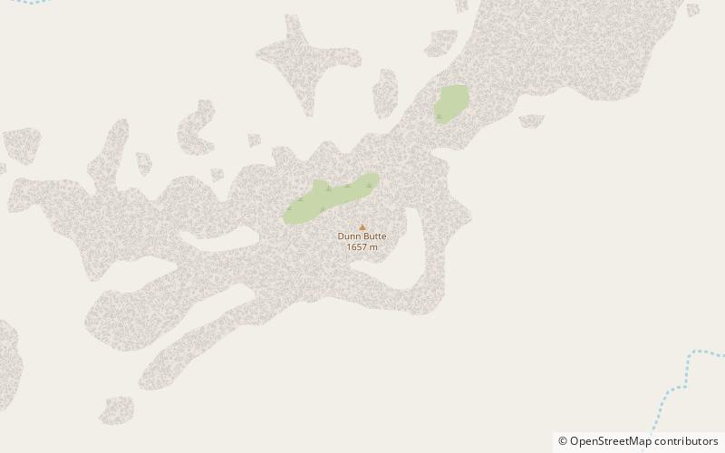
Map
Map
Gallery
Facts and practical information
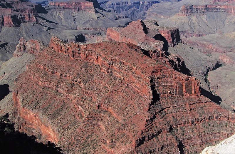
Dunn Butte, is a 5,714 foot-elevation-summit, a minor butte, along a line of three summits along the west drainage of Ninetyone Mile Canyon and Creek. From higher elevation-to-lower, they are Angels Gate, Dunn Butte, and Hawkins Butte. The bases of all three landforms are connected, and Dunn Butte is a south-southwest ridgeline, with the high point prominence at the northeast terminus. ()
Coordinates: 36°5'2"N, 111°59'35"W
Address
Grand Canyon National Park
ContactAdd
Social media
Add
Day trips


