Paguekwash Point
Map

Map

Facts and practical information
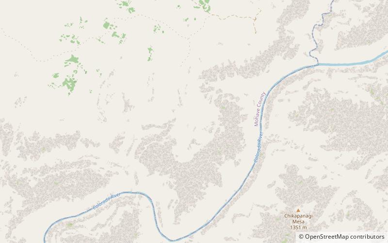
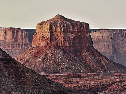
Paguekwash Point is a 5,663-foot -elevation summit located in western Grand Canyon, in Mohave County of northern Arizona, United States. It is located on the North Rim, about 4.5 miles northwest of Mount Sinyella and across the Colorado River. An excursion of the west-flowing Colorado is ~1.0 mile east, and also ~1.5 miles west. Kanab Point lies about 2.0 miles northwest. Paguekwash Point is in an arid section of the Grand Canyon, with the landform virtually devoid of vegetation. ()
Coordinates: 36°22'32"N, 112°40'25"W
Location
Arizona
ContactAdd
Social media
Add
Day trips
Paguekwash Point – popular in the area (distance from the attraction)
Nearby attractions include: Mount Sinyella, Kanab Creek Trail, Fishtail Mesa.


