Fishtail Mesa


Facts and practical information
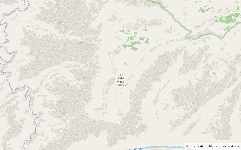
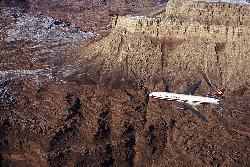
Fishtail Mesa is a linear, narrow plateau, adjacent the west-flowing Colorado River in western Grand Canyon, in Coconino County, Northern Arizona, about 2.0 miles east of Kanab Point, and the outfall of south-flowing Kanab Creek, a major north tributary of the Colorado River, from southern Utah. Fishtail Mesa is part of the North Rim and also lies 4.0 miles west of the outfall of Deer Creek, and Deer Creek Falls at the Colorado, a common stopover campsite for river rafters. The linear and southwest direction of Fishtail Mesa, lies adjacent as the southwest border of Fishtail Canyon; at the Colorado, the Fishtail Rapids occur as minor rapids of the Colorado River. Some other nearby prominences to Fishtail Mesa, are Paguekwash Point, about 5.0 miles southwest, and Mount Sinyella, 8.0 miles south-southwest, and on the South Rim region of the Grand Canyon. ()
Arizona
Fishtail Mesa – popular in the area (distance from the attraction)
Nearby attractions include: Kanab Creek Trail, Paguekwash Point.


