Observatory Circle, Washington D.C.
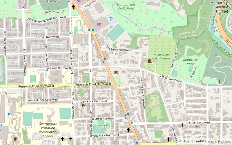
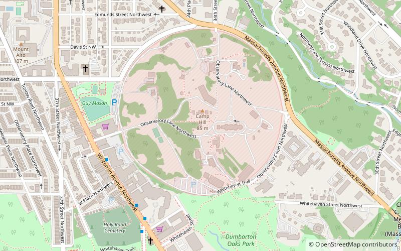
Map
Map

Facts and practical information
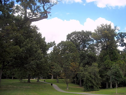
Observatory Circle is a street in Washington, D.C. It runs from Calvert Street to Massachusetts Avenue near 34th Street. Established in 1894, the street follows an incomplete loop, forming an arc rather than a circle. Number One Observatory Circle is the official residence of the Vice President of the United States. ()
Address
Northwest Washington (Naval Observatory)Washington D.C.
ContactAdd
Social media
Add
Day trips
Observatory Circle – popular in the area (distance from the attraction)
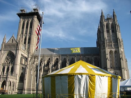
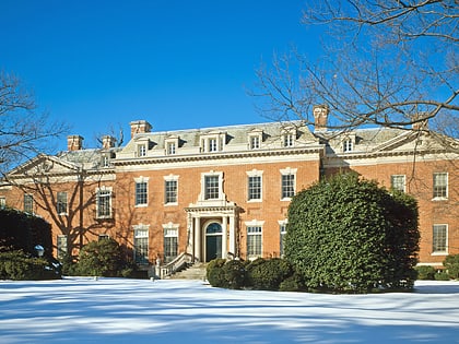
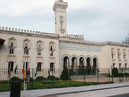
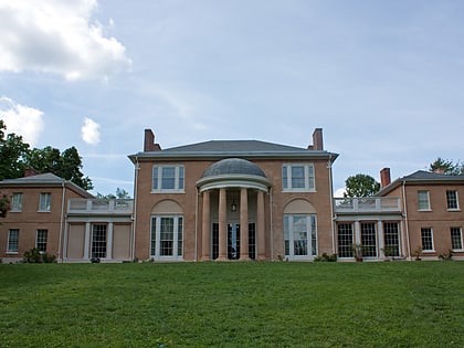
Nearby attractions include: Washington National Cathedral, All Hallows Guild Carousel, Dumbarton Oaks, Islamic Center of Washington.
Frequently Asked Questions (FAQ)
Which popular attractions are close to Observatory Circle?
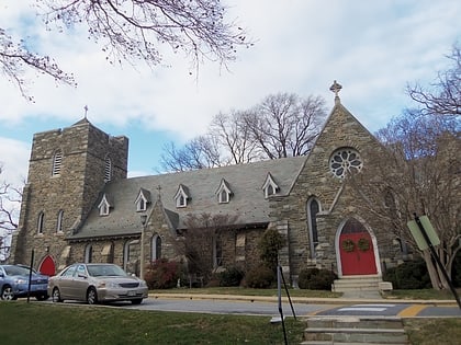
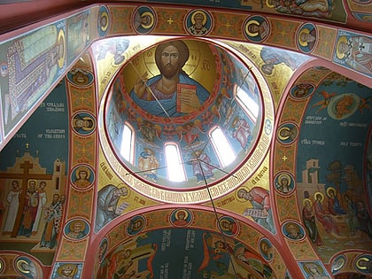
Nearby attractions include Observatory Circle, Washington D.C. (1 min walk), United States Naval Observatory, Washington D.C. (1 min walk), Number One Observatory Circle, Washington D.C. (5 min walk), St. Nicholas Cathedral, Washington D.C. (8 min walk).
How to get to Observatory Circle by public transport?
The nearest stations to Observatory Circle:
Metro
Bus
Metro
- Woodley Park • Lines: Rd (22 min walk)
- Cleveland Park • Lines: Rd (28 min walk)
Bus
- Bus Loading (28 min walk)


