Islamic Center of Washington, Washington D.C.
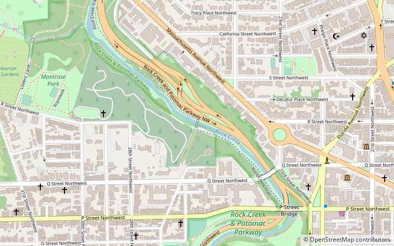
Map
Gallery
Facts and practical information
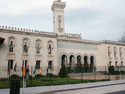
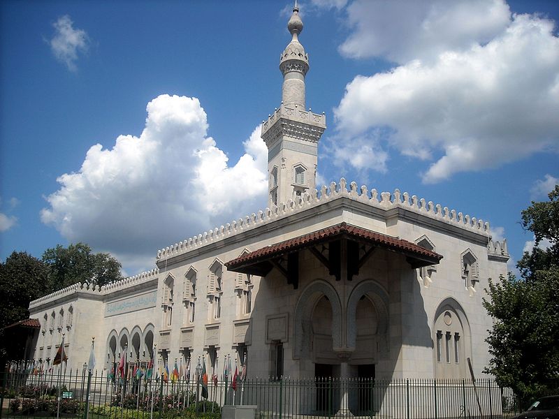
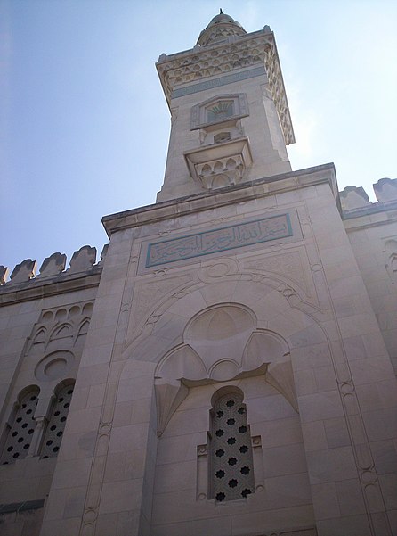
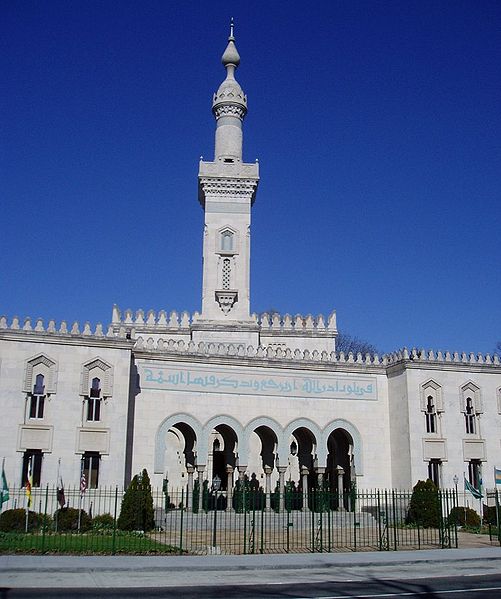
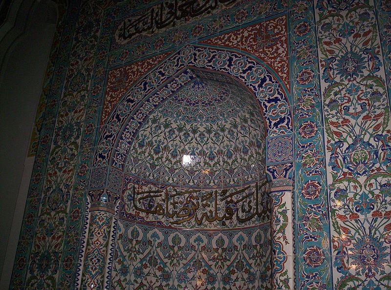
The Islamic Center of Washington is a mosque and Islamic cultural center in Washington, D.C. It is located on Embassy Row on Massachusetts Avenue just east of the bridge over Rock Creek. When it opened in 1957, it was the largest mosque in the Western Hemisphere. ()
Day trips
Islamic Center of Washington – popular in the area (distance from the attraction)
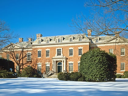
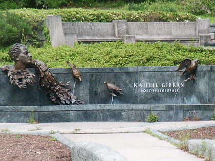
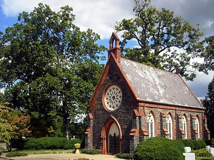
Nearby attractions include: Dumbarton Oaks, Khalil Gibran Memorial, Oak Hill Cemetery, Montrose Park.
Frequently Asked Questions (FAQ)
Which popular attractions are close to Islamic Center of Washington?
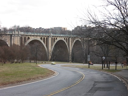
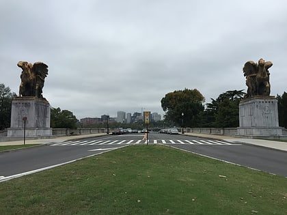
Nearby attractions include Charles C. Glover Memorial Bridge, Washington D.C. (3 min walk), The Lindens, Washington D.C. (6 min walk), Kalorama, Washington D.C. (6 min walk), Rock Creek and Potomac Parkway, Washington D.C. (7 min walk).
How to get to Islamic Center of Washington by public transport?
The nearest stations to Islamic Center of Washington:
Metro
Bus
Metro
- Woodley Park • Lines: Rd (16 min walk)
- Dupont Circle • Lines: Rd (23 min walk)
Bus
- Bus Loading (27 min walk)
- MTA Bus Stop • Lines: 305, 315 (33 min walk)
