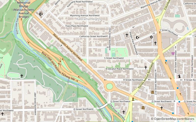
Massachusetts Avenue, Washington D.C.
Map
Facts and practical information
Massachusetts Avenue is a major diagonal transverse road in Washington, D.C., and the Massachusetts Avenue Historic District is a historic district that includes part of it. ()
Address
Northwest Washington (Kalorama)Washington D.C.
ContactAdd
Social media
Add
Getting there by public transportation
Public transportation stops near this location
- Metro
- Bus
 Metro
Metro
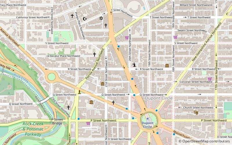
- Calculate routeDupont Circle 14 min walk
- Calculate routeWoodley Park 20 min walk
- Calculate routeMTA Bus Stop 24 min walk
- Calculate route21st St & F St Northwest 31 min walk
- Calculate route19th St & F St Northwest 32 min walk
- Calculate routeLee Hwy at N Nash St 39 min walk
Day trips
Massachusetts Avenue – popular in the area (distance from the attraction)
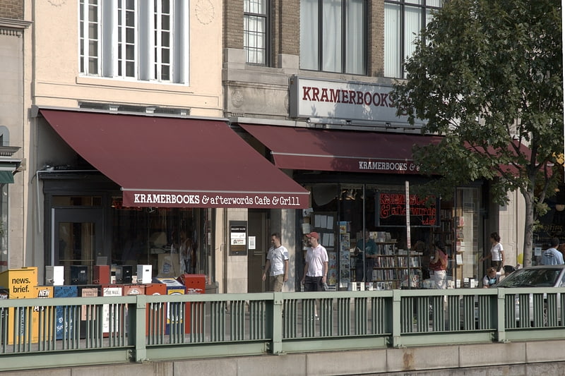
Nearby attractions include: Kramers, The Phillips Collection, Oak Hill Cemetery, Philip Sheridan.


Frequently Asked Questions (FAQ)
Which popular attractions are close to Massachusetts Avenue?
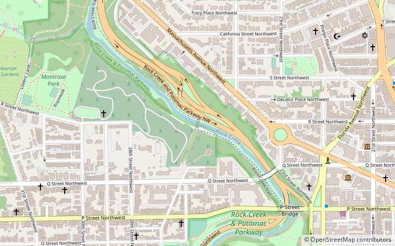
Nearby attractions include Textile Museum, Washington D.C. (1 min walk), Woodrow Wilson House, Washington D.C. (1 min walk), Joseph Beale House, Washington D.C. (2 min walk), Rock Creek and Potomac Parkway, Washington D.C. (4 min walk).
How to get to Massachusetts Avenue by public transport?
The nearest stations to Massachusetts Avenue:
Metro
Bus
Metro
- Dupont Circle • Lines: Rd (14 min walk)
- Woodley Park • Lines: Rd (20 min walk)
Bus
- MTA Bus Stop • Lines: 305, 315 (24 min walk)
- 21st St & F St Northwest (31 min walk)