Ohio Connecting Railroad Bridge, Pittsburgh
Map

Map

Facts and practical information
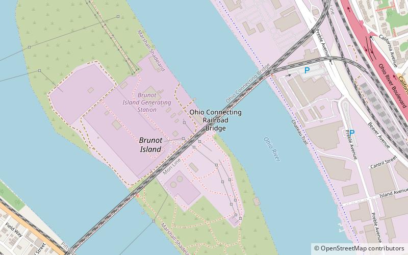
The Ohio Connecting Railroad Bridge is a steel bridge which crosses the Ohio River at Brunot's Island at the west end of Pittsburgh, Pennsylvania, United States. It consists of two major through truss spans over the main and back channels of the river, of 508 feet and 406 feet respectively, with deck truss approaches. ()
Coordinates: 40°27'50"N, 80°2'29"W
Address
North Side (Brunots Island)Pittsburgh
ContactAdd
Social media
Add
Day trips
Ohio Connecting Railroad Bridge – popular in the area (distance from the attraction)
Nearby attractions include: Bicycle Heaven, Rivers Casino, West End Overlook, Union Dale Cemetery.
Frequently Asked Questions (FAQ)
Which popular attractions are close to Ohio Connecting Railroad Bridge?
Nearby attractions include Brunot Island, Pittsburgh (4 min walk), State Correctional Institution – Pittsburgh, Pittsburgh (12 min walk), Holy Ghost Byzantine Catholic Church, Pittsburgh (14 min walk), Marshall-Shadeland, Pittsburgh (16 min walk).
How to get to Ohio Connecting Railroad Bridge by public transport?
The nearest stations to Ohio Connecting Railroad Bridge:
Bus
Bus
- Sheraden (25 min walk)
- Ohio River Blvd at McKees Rocks Bridge • Lines: 1 (27 min walk)


