McKees Rocks Bridge, Pittsburgh

Gallery (2)
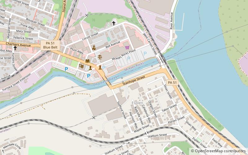
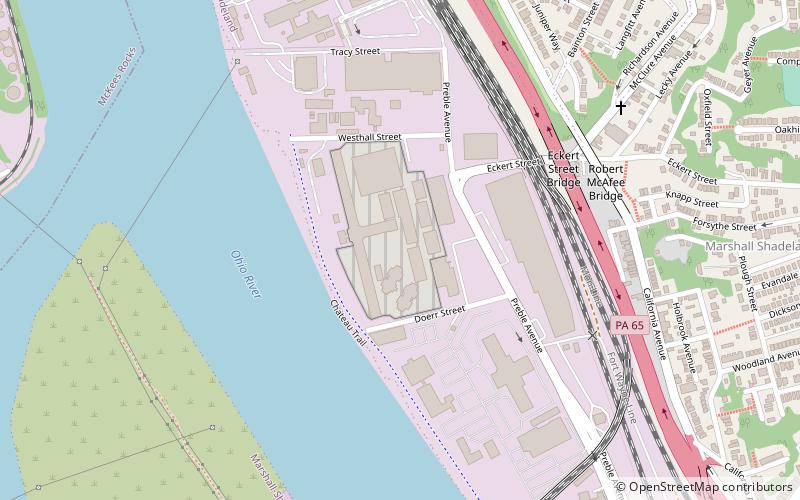
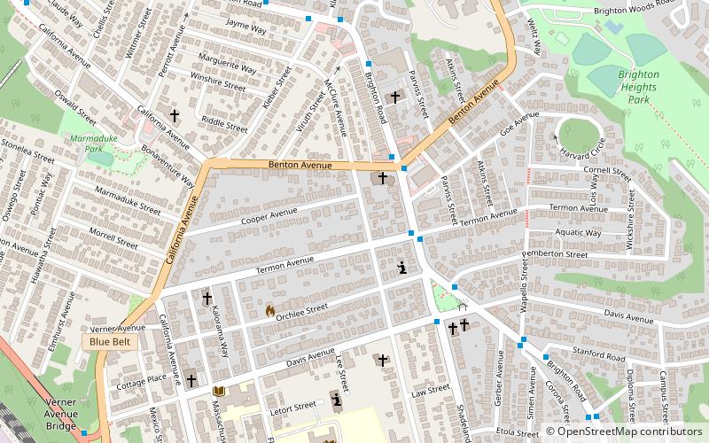
Map
Map
Gallery
Facts and practical information
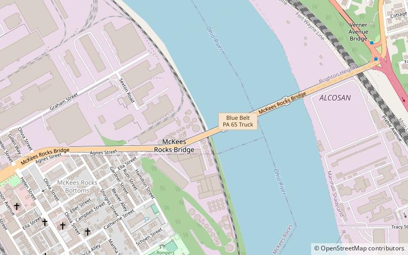
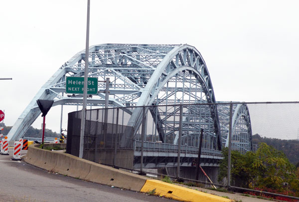
The McKees Rocks Bridge is a steel trussed through arch bridge which carries the Blue Belt, Pittsburgh's innermost beltline, across the Ohio River at Brighton Heights and McKees Rocks, Pennsylvania, west of the city. ()
Opened: 1931 (95 years ago)Length: 7293 ftCoordinates: 40°28'36"N, 80°3'2"W
Getting there by public transportation
Public transportation stops near this location
- Bus
 Bus
Bus
- Calculate routeOhio River Blvd at McKees Rocks Bridge 11 min walk
Day trips


Frequently Asked Questions (FAQ)
Which popular attractions are close to McKees Rocks Bridge?
Nearby attractions include State Correctional Institution – Pittsburgh, Pittsburgh (17 min walk), Brighton Heights, Pittsburgh (22 min walk), FOR Sto-Rox Library, McKees Rocks (24 min walk), Chartiers, Pittsburgh (24 min walk).
How to get to McKees Rocks Bridge by public transport?
The nearest stations to McKees Rocks Bridge:
Bus
Bus
- Ohio River Blvd at McKees Rocks Bridge • Lines: 1 (11 min walk)