Rikers Island Bridge, New York City
Map

Map

Facts and practical information
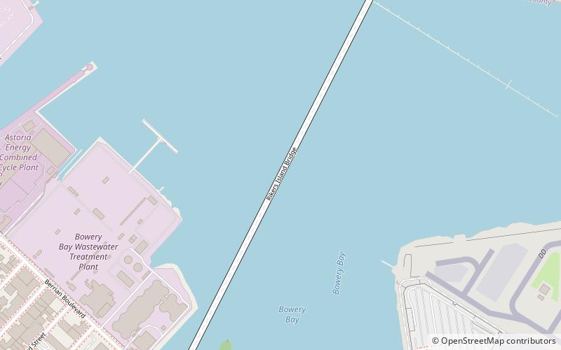
Rikers Island Bridge is a girder bridge that connects Rikers Island in the borough of the Bronx with the borough of Queens in New York City. The bridge begins in the Steinway neighborhood of Queens near the intersection of Hazen Street and 19th Avenue and continues to the south side of Rikers Island. ()
Address
New York City
ContactAdd
Social media
Add
Day trips
Rikers Island Bridge – popular in the area (distance from the attraction)
Nearby attractions include: Lent Homestead and Cemetery, Marine Air Terminal, Steinway Mansion, Rikers Island.
Frequently Asked Questions (FAQ)
Which popular attractions are close to Rikers Island Bridge?
Nearby attractions include Steinway Mansion, New York City (13 min walk), Marine Air Terminal, New York City (15 min walk), Lent Homestead and Cemetery, New York City (16 min walk), Rikers Island, New York City (19 min walk).
How to get to Rikers Island Bridge by public transport?
The nearest stations to Rikers Island Bridge:
Bus
Bus
- Rikers Island Q100 Bus Stop • Lines: Q100 Ltd (12 min walk)
- LGA Terminal A • Lines: LaGuardia All Terminals, M60 Sbs (16 min walk)

 Subway
 Manhattan Buses


