Astoria Boulevard, New York City
Map

Map

Facts and practical information
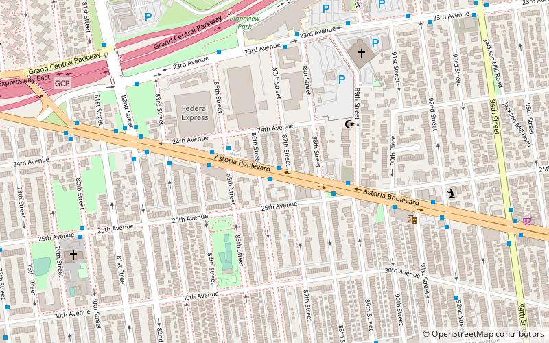
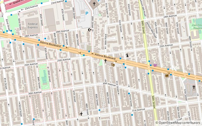
Astoria Boulevard is an important east-west commercial street in Astoria and East Elmhurst, Queens, New York City. It runs from 1st Street at the East River to the World's Fair Marina on Flushing Bay, where it merges with Northern Boulevard. Just before the junction of the two boulevards, there is a large two lane ramp leading to the Whitestone Expressway. Most of the traffic on Astoria Boulevard heads toward this ramp, and then onto the Expressway. ()
Coordinates: 40°45'51"N, 73°52'58"W
Address
Northwestern Queens (Jackson Heights)New York City
ContactAdd
Social media
Add
Day trips
Astoria Boulevard – popular in the area (distance from the attraction)
Nearby attractions include: Lent Homestead and Cemetery, Marine Air Terminal, Steinway Mansion, Rikers Island Bridge.
Frequently Asked Questions (FAQ)
Which popular attractions are close to Astoria Boulevard?
Nearby attractions include One Room Schoolhouse Park, New York City (5 min walk), Marine Air Terminal, New York City (18 min walk), Lent Homestead and Cemetery, New York City (20 min walk), Jackson Heights, New York City (24 min walk).
How to get to Astoria Boulevard by public transport?
The nearest stations to Astoria Boulevard:
Bus
Metro
Bus
- Astoria Blvd & 87 St • Lines: Q19 (1 min walk)
Metro
- 90th Street–Elmhurst Avenue • Lines: 7 (30 min walk)
- 82nd Street–Jackson Heights • Lines: 7 (30 min walk)

 Subway
 Manhattan Buses


