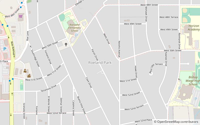
Roeland Park, Kansas City
Map
Facts and practical information
Roeland Park is a city in Johnson County, Kansas, United States, and part of the Kansas City metropolitan area. As of the 2020 census, the population of the city was 6,871. ()
Getting there by public transportation
Public transportation stops near this location
- Bus
 Bus
Bus
- Calculate routeMission Transit Center 32 min walk
- Calculate routeRainbow at 41st 41 min walk
Day trips


Frequently Asked Questions (FAQ)
How to get to Roeland Park by public transport?
The nearest stations to Roeland Park:
Bus
Bus
- Mission Transit Center (32 min walk)
- Rainbow at 41st • Lines: 11 (41 min walk)