Shirley Chisholm State Park, Gateway National Recreation Area
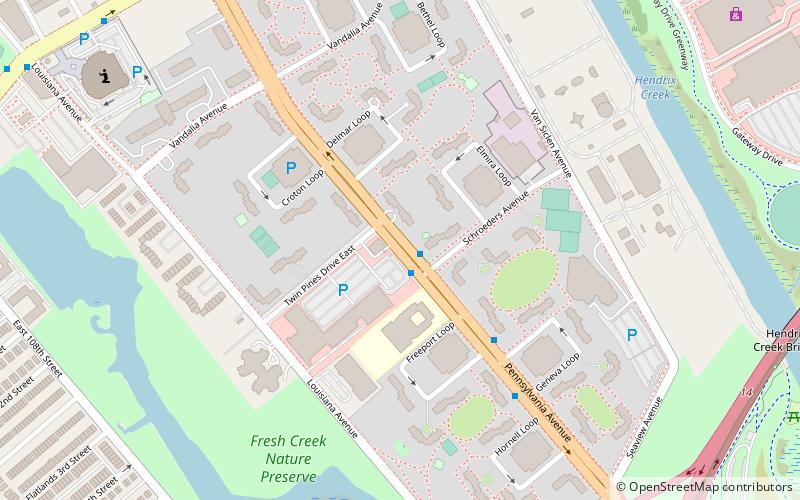
Map

Gallery

Facts and practical information
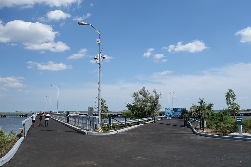
Shirley Chisholm State Park is a 407-acre state park that is under construction in southeastern Brooklyn, New York City. It is bound by Belt Parkway and Spring Creek Park to the north and Jamaica Bay to the south, situated atop the former Pennsylvania Avenue and Fountain Avenue Landfills. The first sections of the park opened in 2019; it is expected to be completed by 2021. ()
Coordinates: 40°38'35"N, 73°52'32"W
Address
Eastern Brooklyn (East New York)Gateway National Recreation Area
ContactAdd
Social media
Add
Day trips
Shirley Chisholm State Park – popular in the area (distance from the attraction)
Nearby attractions include: Gateway Center, Christian Cultural Center, Spring Creek Park, Starrett City.
Frequently Asked Questions (FAQ)
Which popular attractions are close to Shirley Chisholm State Park?
Nearby attractions include Starrett City, New York City (13 min walk), Christian Cultural Center, Sea Gate (22 min walk).


