Spring Creek Park, New York City
Map
Gallery
Facts and practical information
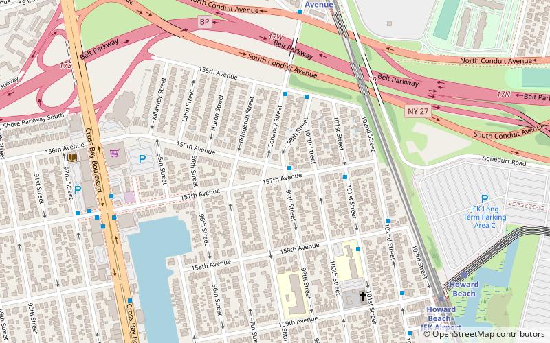
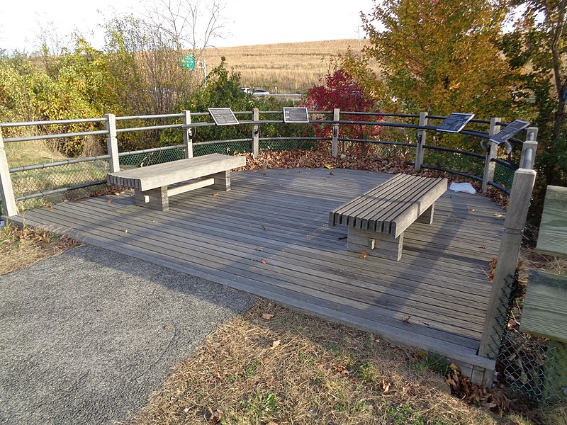
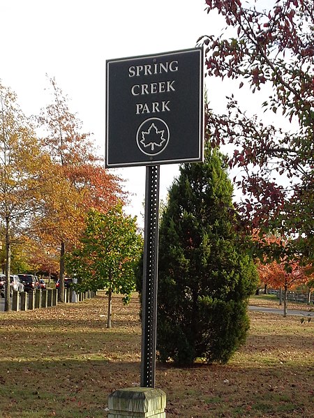
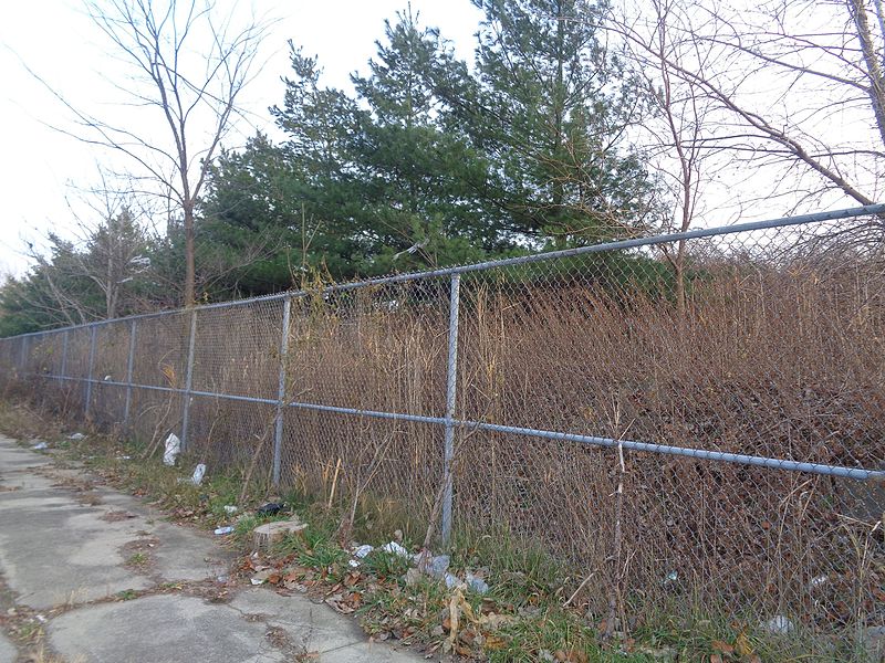
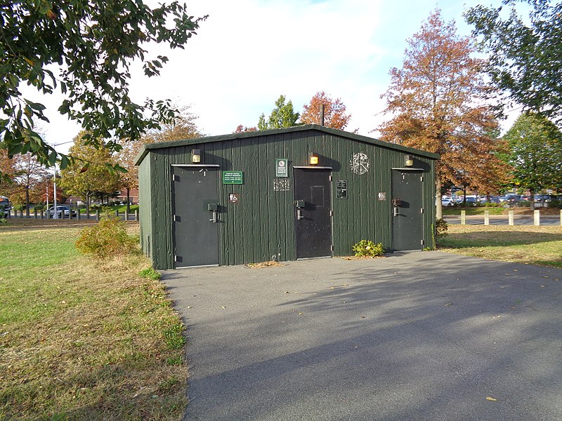
Spring Creek Park is a public park along the Jamaica Bay shoreline between the neighborhoods of Howard Beach, Queens, and Spring Creek, Brooklyn, in New York City. Created on landfilled former marshland, the park is mostly an undeveloped nature preserve, with only small portions accessible to the public for recreation. ()
Elevation: 13 ft a.s.l.Coordinates: 40°39'10"N, 73°51'18"W
Address
Southwestern Queens (Howard Beach)New York City
ContactAdd
Social media
Add
Day trips
Spring Creek Park – popular in the area (distance from the attraction)
Nearby attractions include: Gateway Center, Shirley Chisholm State Park, Walter J. Wetzel Triangle, Joseph P. Addabbo Memorial Bridge.
Frequently Asked Questions (FAQ)
How to get to Spring Creek Park by public transport?
The nearest stations to Spring Creek Park:
Bus
Metro
Bus
- Gateway Center Terminal (29 min walk)
- Euclid Avenue & Linden Boulevard • Lines: B13 (35 min walk)
Metro
- Aqueduct–North Conduit Avenue • Lines: A (39 min walk)



 Subway
 Manhattan Buses

