1st Street, Los Angeles
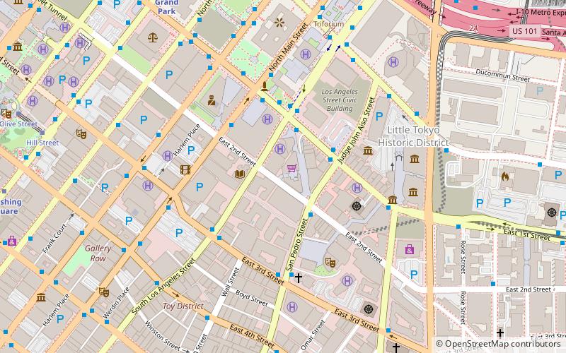
Map

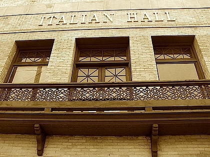
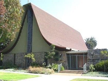
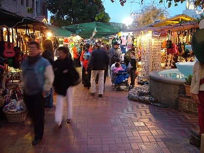
Gallery
Facts and practical information
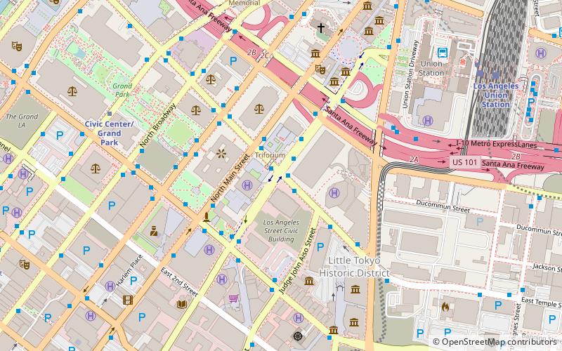
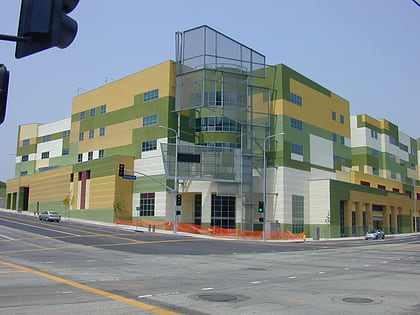
1st Street is an east–west thoroughfare in Los Angeles and Monterey Park, California. It serves as a postal divider between north and south and is one of a few streets to run across the Los Angeles River. Though it serves as a major road east of downtown Los Angeles, it is a mostly residential street to the west. ()
Coordinates: 34°2'53"N, 118°13'53"W
Address
Central Los Angeles (Historic Cultural)Los Angeles
ContactAdd
Social media
Add
Day trips
1st Street – popular in the area (distance from the attraction)
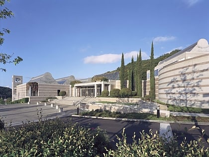
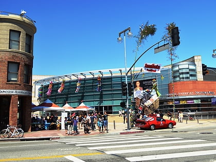
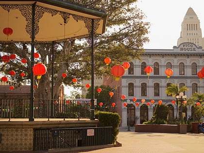
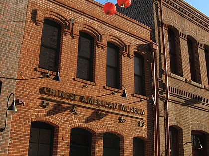
Nearby attractions include: Skirball Cultural Center, Japanese American National Museum, El Pueblo de Los Ángeles Historical Monument, Chinese American Museum.
Frequently Asked Questions (FAQ)
Which popular attractions are close to 1st Street?
Nearby attractions include Southern California Institute of Architecture, Los Angeles (5 min walk), Mission Road, Los Angeles (6 min walk), Zenshuji Soto Misson, Los Angeles (8 min walk), Alameda Street, Los Angeles (10 min walk).
How to get to 1st Street by public transport?
The nearest stations to 1st Street:
Light rail
Bus
Train
Metro
Light rail
- Pico/Aliso • Lines: L (8 min walk)
- Union Station • Lines: L (15 min walk)
Bus
- Patsaouras Transit Plaza • Lines: J (13 min walk)
- Cesar E Chavez & Vignes • Lines: 70, 78 (16 min walk)
Train
- Los Angeles Union Station (15 min walk)
Metro
- Union Station • Lines: B, D (15 min walk)
- Civic Center/Grand Park • Lines: B, D (25 min walk)
 Metro & Regional Rail