St. Luke's and St. Margaret's Church, Boston
Map
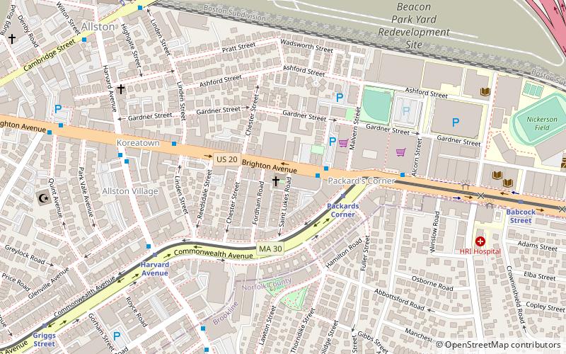
Map

Facts and practical information
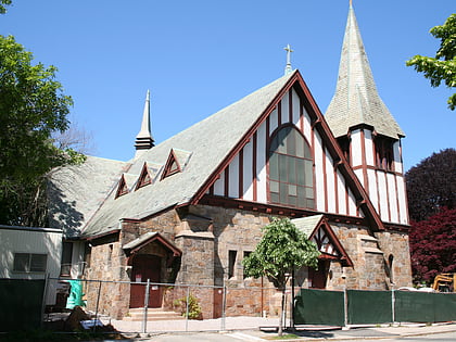
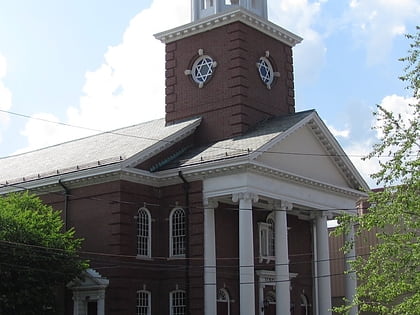
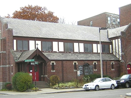
St. Luke's and St. Margaret's Church is a former parish of the Episcopal Diocese of Massachusetts in the Allston neighborhood of Boston. It was closed in 2010. ()
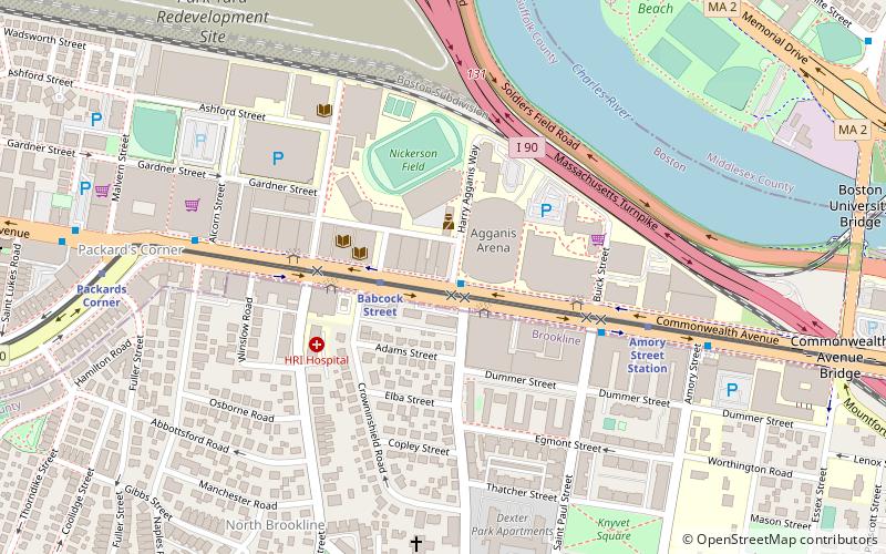
Coordinates: 42°21'8"N, 71°7'38"W
Address
Brighton (Commonwealth)Boston
ContactAdd
Social media
Add
Day trips
St. Luke's and St. Margaret's Church – popular in the area (distance from the attraction)
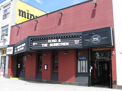
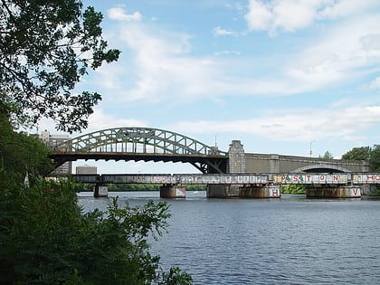
Nearby attractions include: Agganis Arena, Coolidge Corner Theatre, Paradise Rock Club, Boston University Bridge.
Frequently Asked Questions (FAQ)
Which popular attractions are close to St. Luke's and St. Margaret's Church?
Nearby attractions include Second Unitarian Church, Boston (4 min walk), Packard's Corner, Boston (4 min walk), Harvard Avenue Historic District, Boston (8 min walk), Allston, Boston (9 min walk).
How to get to St. Luke's and St. Margaret's Church by public transport?
The nearest stations to St. Luke's and St. Margaret's Church:
Bus
Light rail
Bus
- 19 Brighton Ave • Lines: 57 (2 min walk)
- Brighton Ave @ Linden St • Lines: 57 (5 min walk)
Light rail
- Packards Corner • Lines: B (3 min walk)
- Harvard Avenue • Lines: B (6 min walk)
 MBTA Subway
