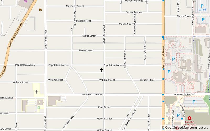
Morton Meadows, Omaha

Map
Facts and practical information
Morton Meadows is a historic neighborhood located in Midtown Omaha, Nebraska. The neighborhood lies between Center and Leavenworth Streets, from 42nd Street to Saddle Creek, and is sometimes referred to by its central boulevard, Twin Ridge. It is near the Dundee area, as well as the Gold Coast, Field Club and Country Club historic districts. ()
Coordinates: 41°14'49"N, 95°58'50"W
Address
Morton MeadowsOmaha
ContactAdd
Social media
Add
Day trips
Morton Meadows – popular in the area (distance from the attraction)
Nearby attractions include: Joslyn Castle, Gerald R. Ford Birthsite and Gardens, First Unitarian Church of Omaha, Pella Lutheran Church.
Frequently Asked Questions (FAQ)
Which popular attractions are close to Morton Meadows?
Nearby attractions include Hanscom Park United Methodist Church, Omaha (12 min walk), Connect Gallery and Studios Omaha, Omaha (15 min walk), Selby Apartments, Omaha (19 min walk), Elmwood Tower, Omaha (21 min walk).
How to get to Morton Meadows by public transport?
The nearest stations to Morton Meadows:
Bus
Bus
- 50th & Dodge • Lines: 2 (26 min walk)
- Ollie the Trolley (29 min walk)


