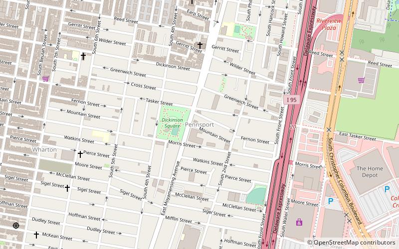
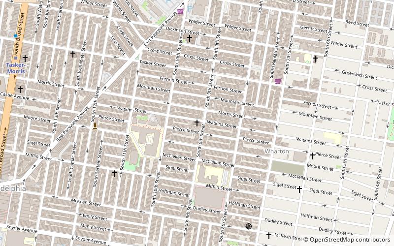
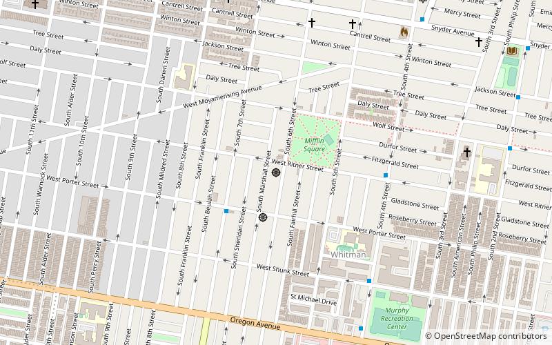
Pennsport, Philadelphia
Map
Facts and practical information
Pennsport is a neighborhood in the South Philadelphia section of Philadelphia, Pennsylvania, United States. ()
Coordinates: 39°55'39"N, 75°9'2"W
Address
South Philadelphia (Moyamensing)Philadelphia
ContactAdd
Social media
Add
Getting there by public transportation
Public transportation stops near this location
- Metro
- Light rail
 Metro
Metro
- Calculate routeTasker-Morris 25 min walk
- Calculate routeSnyder 27 min walk
- Calculate routeEllsworth-Federal 28 min walk
- Calculate routeOregon 34 min walk
- Calculate routeEntertainment Center 38 min walk
Maps SEPTA Regional Rail
SEPTA Regional RailDay trips


Frequently Asked Questions (FAQ)
Which popular attractions are close to Pennsport?
Nearby attractions include Dickinson Square Park Farmers' Market, Philadelphia (2 min walk), Congregation Shivtei Yeshuron-Ezras Israel, Philadelphia (9 min walk), Eliza Butler Kirkbride School, Philadelphia (9 min walk), Moyamensing, Philadelphia (12 min walk).
How to get to Pennsport by public transport?
The nearest stations to Pennsport:
Metro
Light rail
Metro
- Tasker-Morris • Lines: Bsl (25 min walk)
- Snyder • Lines: Bsl (27 min walk)
Light rail
- Entertainment Center • Lines: River Line (38 min walk)