Steinway Street, New York City
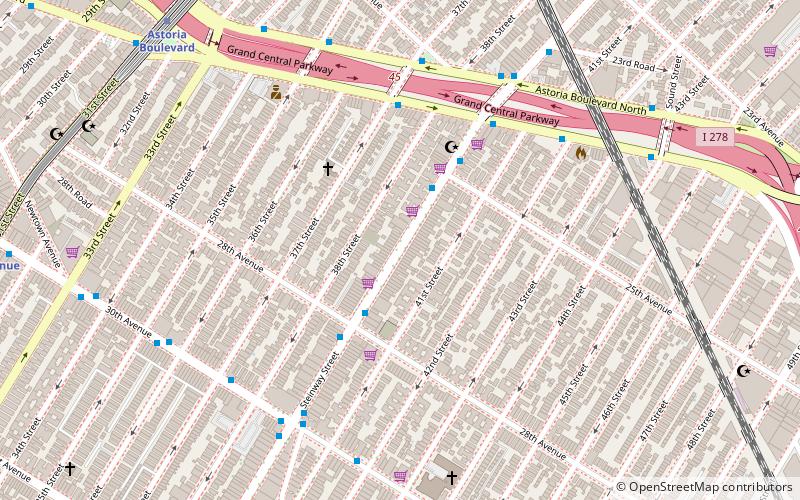
Map

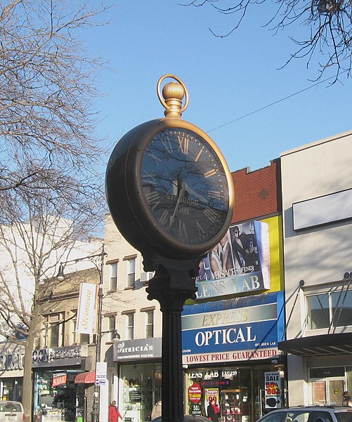
Gallery

Facts and practical information
Steinway Street is a major street in the borough of Queens in New York City, New York, in the United States. Steinway Street is a 2.4 mile two-way street that runs north-south between Berrian Boulevard in Astoria and Northern Boulevard in Long Island City. South of the Grand Central Parkway, Steinway Street is a major commercial district that is the primary section of a Business improvement district called Steinway Astoria Partnership. ()
Coordinates: 40°46'0"N, 73°54'46"W
Address
Northwestern Queens (Astoria)New York City
ContactAdd
Social media
Add
Day trips
Steinway Street – popular in the area (distance from the attraction)
Nearby attractions include: Robert F. Kennedy Bridge, Museum of the Moving Image, Astoria Park, Moore-Jackson Cemetery.
Frequently Asked Questions (FAQ)
Which popular attractions are close to Steinway Street?
Nearby attractions include Statue of Christopher Columbus, New York City (9 min walk), Astoria, New York City (12 min walk), Trinity Lutheran Church, New York City (13 min walk), Astoria Center of Israel, New York City (17 min walk).
How to get to Steinway Street by public transport?
The nearest stations to Steinway Street:
Bus
Metro
Bus
- Astoria Boulevard & 37th Street • Lines: Q19 (5 min walk)
- Astoria Boulevard South & Steinway Street • Lines: M60 Sbs, Q19 (5 min walk)
Metro
- Astoria Boulevard • Lines: N, W (10 min walk)
- 30th Avenue • Lines: N, W (12 min walk)

 Subway
 Manhattan Buses


