Hawthorne Hills, Seattle
Facts and practical information
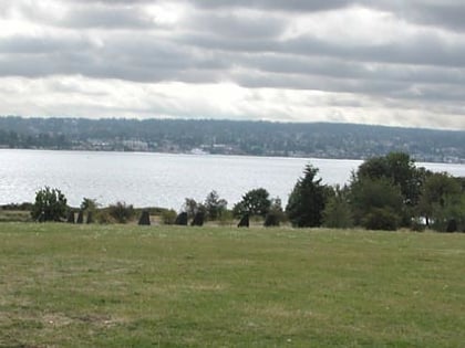
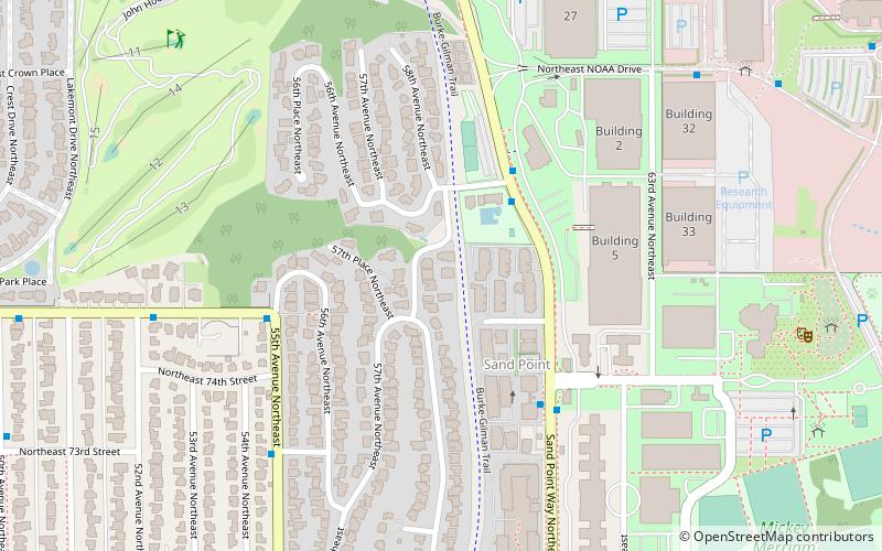
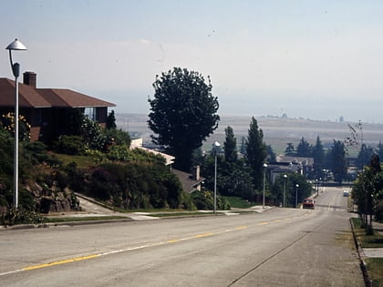
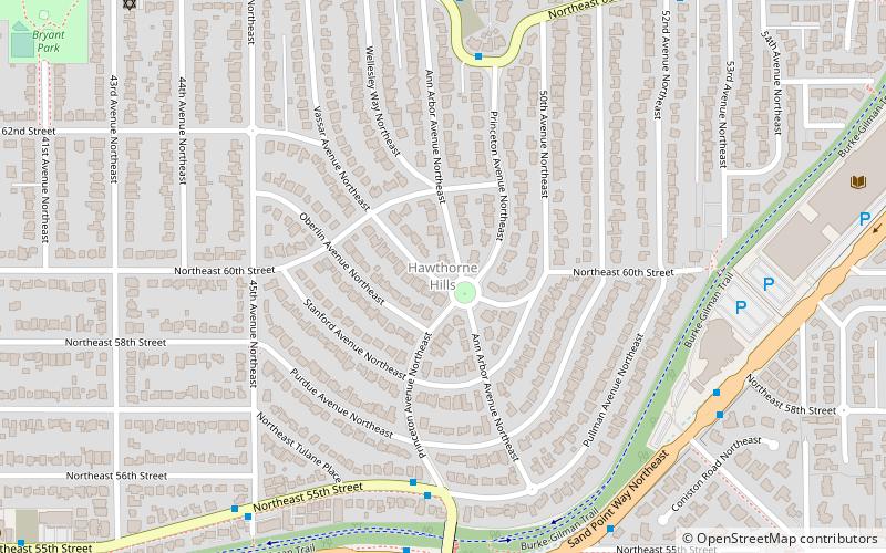
Hawthorne Hills is a residential neighborhood in Seattle, Washington. It is officially split between the neighborhoods of Bryant and Windermere, but is generally recognized as a distinct neighborhood. The northern boundary is Northeast 65th Street. The southern and eastern boundary is Sand Point Way. The western boundary is 40th Avenue Northeast. Hawthorne Hills is bounded on the north by View Ridge, on the east by Windermere, on the south by Laurelhurst, and on the west by Bryant. There is a sign for the neighborhood along Sand Point Way. ()
Northeast Seattle (Windermere)Seattle
Hawthorne Hills – popular in the area (distance from the attraction)
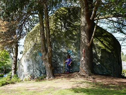
Nearby attractions include: University Village, Magnuson Park, Union Bay Natural Area, NOAA Center for Tsunami Research.
Frequently Asked Questions (FAQ)
Which popular attractions are close to Hawthorne Hills?
How to get to Hawthorne Hills by public transport?
Bus
- NE 55th St & Princeton Ave NE • Lines: 79 (5 min walk)
- NE Princeton Way & Princeton Ave NE • Lines: 62, 79 (6 min walk)

