National Archives at Seattle, Seattle

Gallery (1)
Map
Map
Facts and practical information
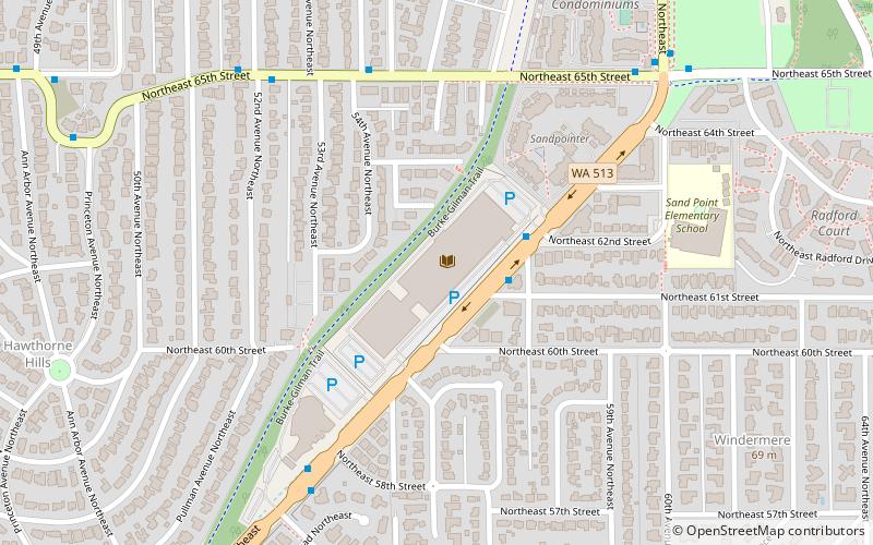
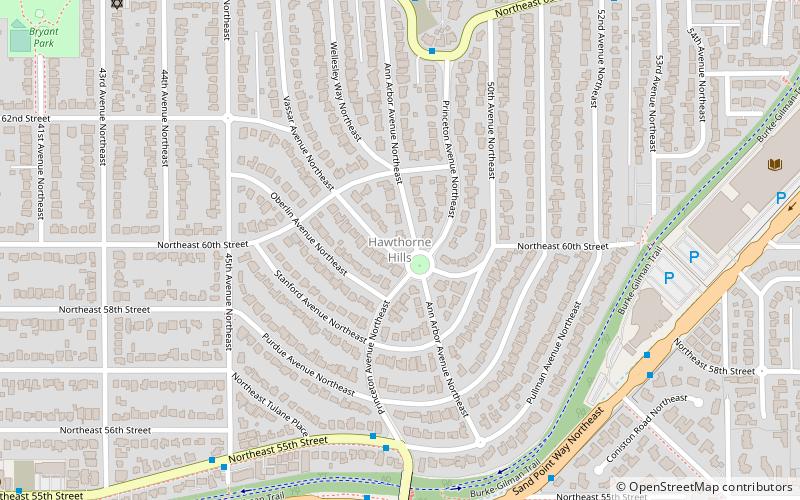
The National Archives at Seattle is a regional facility of the U.S. National Archives and Records Administration Pacific Region located in Seattle, Washington. The archives building is situated in the Windermere neighborhood of Northeast Seattle, near Magnuson Park, and holds 56,000 cubic feet of documents and artifacts. ()
Coordinates: 47°40'23"N, 122°16'5"W
Address
6125 Sand Point Way NortheastNortheast Seattle (Windermere)Seattle
Contact
+1 206-336-5115
Social media
Add
Getting there by public transportation
Public transportation stops near this location
- Bus
 Bus
Bus
- Calculate routeSand Point Way NE & NE 61st St 2 min walk
- Calculate routeNE 65th St & 55th Ave NE 5 min walk
Day trips


Frequently Asked Questions (FAQ)
Which popular attractions are close to National Archives at Seattle?
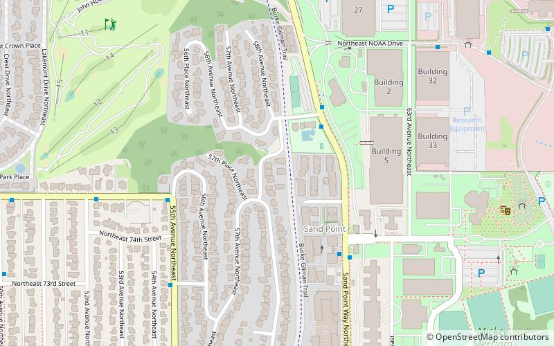
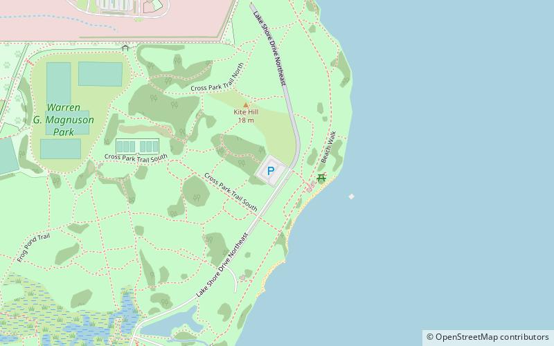
Nearby attractions include Hawthorne Hills, Seattle (10 min walk), View Ridge, Seattle (14 min walk), NOAA Center for Tsunami Research, Seattle (19 min walk), Magnuson Park, Seattle (20 min walk).
How to get to National Archives at Seattle by public transport?
The nearest stations to National Archives at Seattle:
Bus
Bus
- Sand Point Way NE & NE 61st St • Lines: 75, 79 (2 min walk)
- NE 65th St & 55th Ave NE • Lines: 62, 79 (5 min walk)