Magnuson Park, Seattle

Gallery (3)
Map
Map
Gallery
Facts and practical information
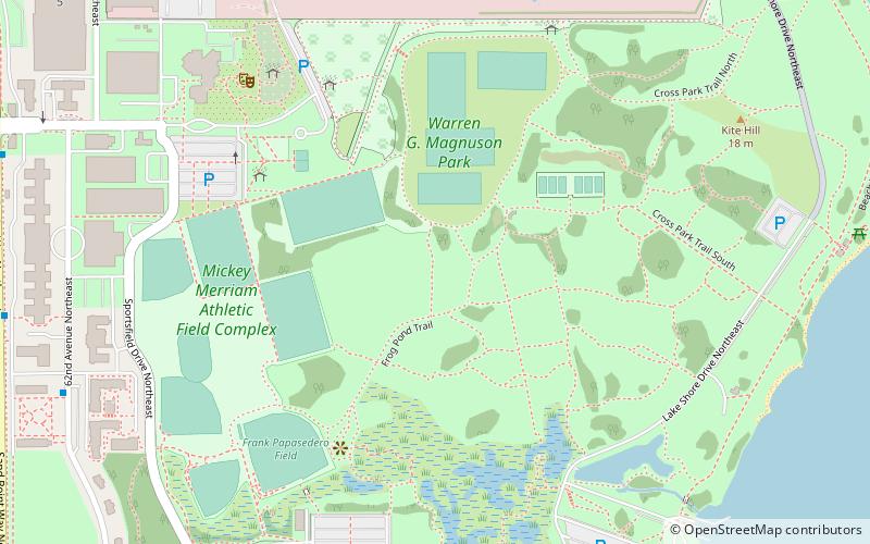
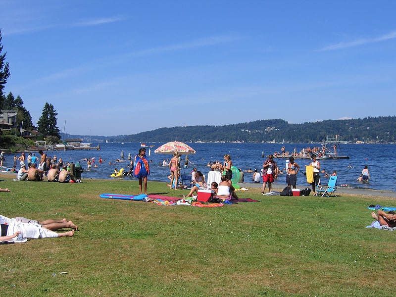
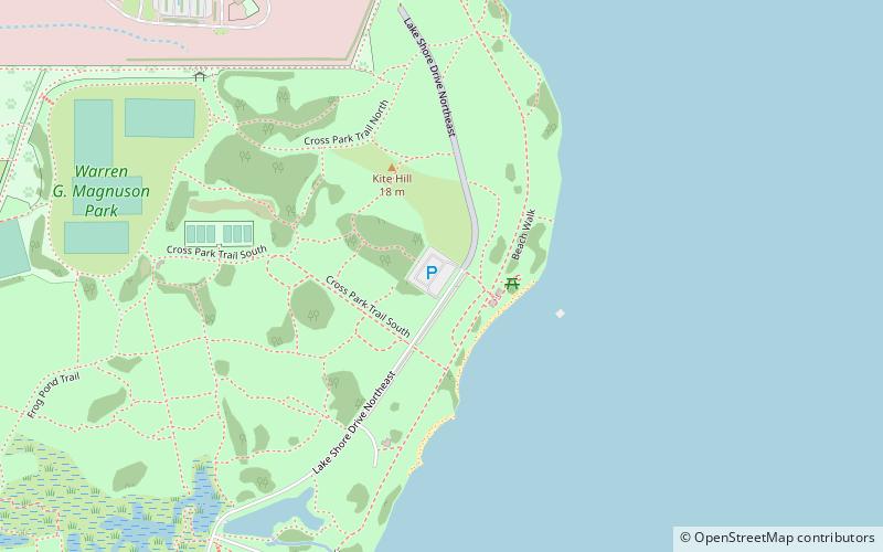
Magnuson Park is a park in the Sand Point neighborhood of Seattle, Washington, United States. At 350 acres it is the second-largest park in Seattle, after Discovery Park in Magnolia. Magnuson Park is located at the site of the former Naval Station Puget Sound, on the Sand Point peninsula with Pontiac and Wolf bays that juts into Lake Washington in northeast Seattle. ()
Created: 1900Elevation: 30 ft a.s.l.Coordinates: 47°40'49"N, 122°15'18"W
Address
7400 Sand Point Way NortheastNortheast Seattle (Sand Point)Seattle
Contact
Social media
Add
Getting there by public transportation
Public transportation stops near this location
- Bus
 Bus
Bus
- Calculate route62nd Ave NE & NE 65th St 10 min walk
- Calculate routeNOAA & Building 3 11 min walk
- Calculate routeSand Point Way NE & NE 70th St 11 min walk
Day trips


Frequently Asked Questions (FAQ)
Which popular attractions are close to Magnuson Park?
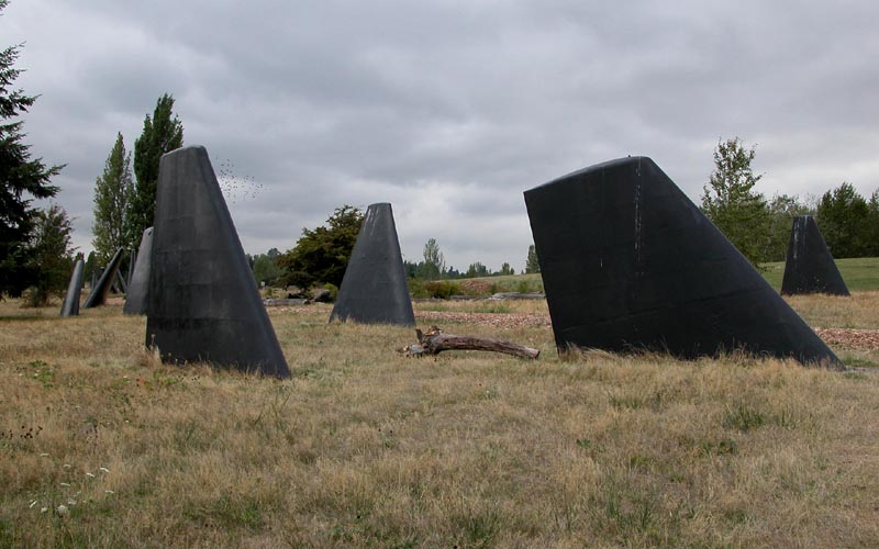
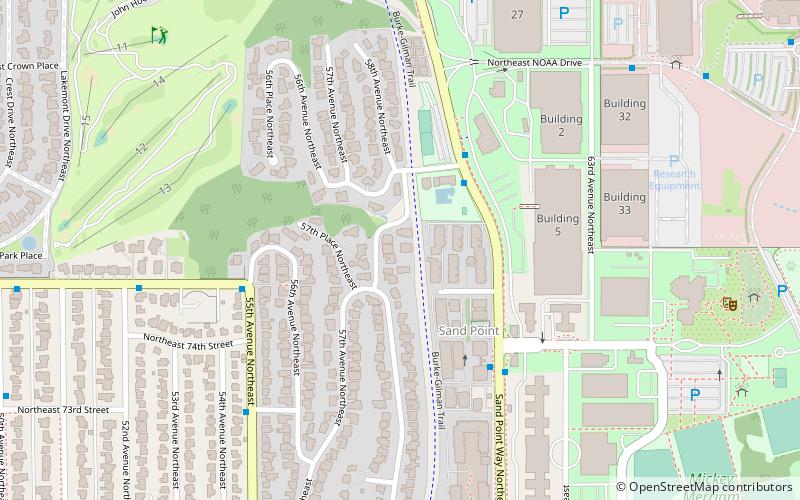
Nearby attractions include Seattle Monolith, Seattle (9 min walk), NOAA Center for Tsunami Research, Seattle (15 min walk), National Archives at Seattle, Seattle (20 min walk), View Ridge, Seattle (23 min walk).
How to get to Magnuson Park by public transport?
The nearest stations to Magnuson Park:
Bus
Bus
- 62nd Ave NE & NE 65th St • Lines: 62 (10 min walk)
- NOAA & Building 3 • Lines: 62 (11 min walk)