Sumner-Glenwood, Minneapolis
Map
Facts and practical information
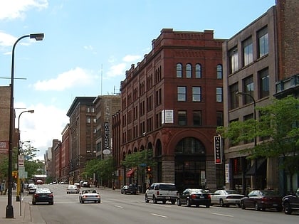
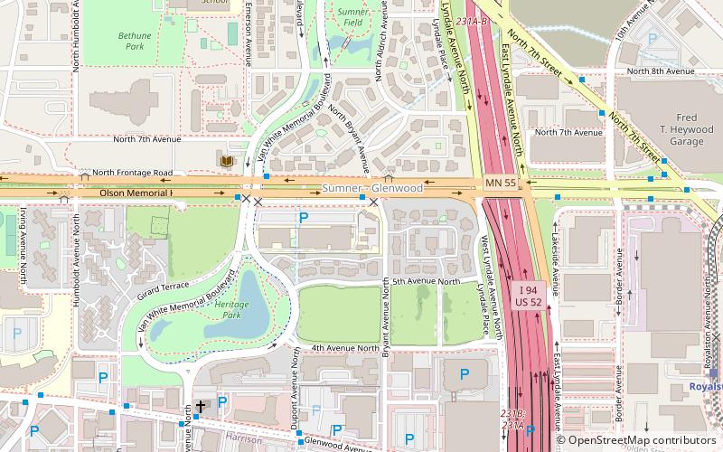
Sumner-Glenwood is a neighborhood in U.S. city of Minneapolis. It is located in the broader Near North community and the area is referred to as Heritage Park by the neighborhood association. Summer-Glenwood is roughly contained by 15 city blocks bordered to the north by 11th Avenue North, to the south by Glenwood Avenue, to the east by Interstate 94, and to the west by both Girard Terrace and Emerson Avenue North. ()
Area: 140.8 acres (0.22 mi²)Coordinates: 44°59'1"N, 93°17'29"W
Address
Near North (Summer - Glenwood)Minneapolis
ContactAdd
Social media
Add
Day trips
Sumner-Glenwood – popular in the area (distance from the attraction)
Nearby attractions include: First Avenue, Target Field, Target Center, Spoonbridge and Cherry.
Frequently Asked Questions (FAQ)
Which popular attractions are close to Sumner-Glenwood?
Nearby attractions include Sumner Library, Minneapolis (5 min walk), International Market Square, Minneapolis (9 min walk), Washington Avenue, Minneapolis (18 min walk), Basilica of St. Mary, Minneapolis (20 min walk).
How to get to Sumner-Glenwood by public transport?
The nearest stations to Sumner-Glenwood:
Light rail
Train
Bus
Light rail
- Target Field • Lines: 901, 902 (17 min walk)
- Warehouse District/Hennepin Avenue • Lines: 901, 902 (24 min walk)
Train
- Target Field (18 min walk)
Bus
- Platform A • Lines: 3, 3A, 3B, 3K (21 min walk)
- Laurel Av • Lines: 4, 4A, 4L, 4P (21 min walk)


