West San Carlos, San Jose
Map

Map

Facts and practical information
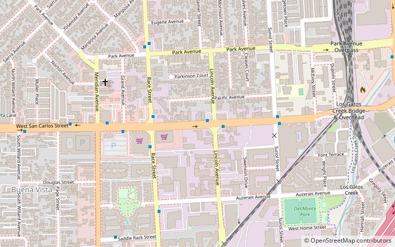
West San Carlos is a neighborhood and urban village of San Jose, California, which lies to the west of Midtown San Jose and to the east of Santana Row. ()
Coordinates: 37°19'25"N, 121°54'34"W
Address
Central San Jose (Sunol - Midtown)San Jose
ContactAdd
Social media
Add
Day trips
West San Carlos – popular in the area (distance from the attraction)
Nearby attractions include: Rosicrucian Egyptian Museum, SAP Center, San Jose Museum of Art, City National Civic.
Frequently Asked Questions (FAQ)
Which popular attractions are close to West San Carlos?
Nearby attractions include Midtown San Jose, San Jose (3 min walk), St. Leo's, San Jose (10 min walk), Cahill Park Connection, San Jose (12 min walk), Shri Krishna Vrundavana Temple, San Jose (13 min walk).
How to get to West San Carlos by public transport?
The nearest stations to West San Carlos:
Bus
Light rail
Train
Bus
- West San Carlos Street & Lincoln Avenue • Lines: 23 (2 min walk)
- Race Street & West San Carlos Street • Lines: 64B (3 min walk)
Light rail
- Race • Lines: Green (12 min walk)
- San Jose Diridon • Lines: Green (12 min walk)
Train
- San Jose Diridon (15 min walk)


