Waterfront Museum, Sea Gate
Map
Facts and practical information
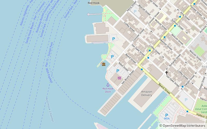
The Waterfront Museum was formerly Lehigh Valley Barge No. 79, a Lehigh Valley Railroad barge that moved goods across the Hudson River. It dates to 1914 and is believed to be the sole all-wooden vessel built between 1860 and 1960 to remain accessible and afloat. ()
Coordinates: 40°40'31"N, 74°1'6"W
Address
South Brooklyn (Red Hook)Sea Gate
Contact
+1 718-624-4719
Social media
Add
Getting there by public transportation
Public transportation stops near this location
- Metro
 Metro
Metro
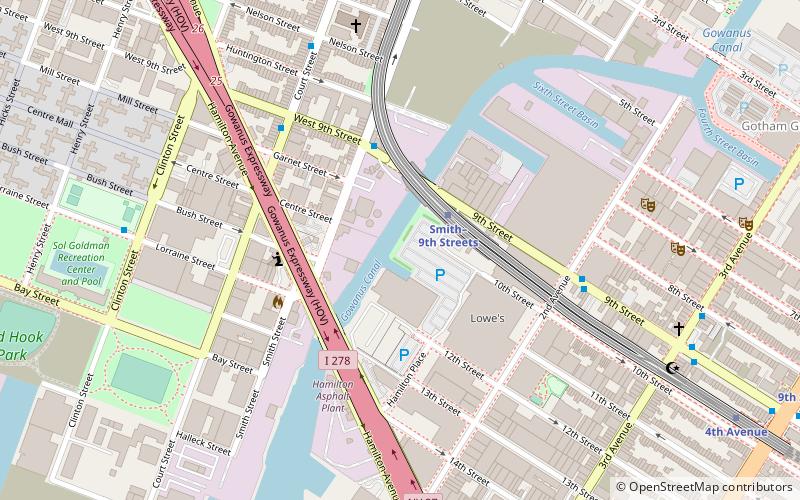
- Calculate routeSmith–9th Streets 31 min walk
- Calculate route25th Street 38 min walk
Day trips


Frequently Asked Questions (FAQ)
Which popular attractions are close to Waterfront Museum?
Nearby attractions include Lehigh Valley Railroad Barge No. 79, New York City (2 min walk), Pioneer Works, New York City (11 min walk), Red Hook, New York City (12 min walk), Red Hook Park, Sea Gate (19 min walk).
How to get to Waterfront Museum by public transport?
The nearest stations to Waterfront Museum:
Metro
Metro
- Smith–9th Streets • Lines: F, G (31 min walk)
- 25th Street • Lines: D, N, R (38 min walk)