Schnitzelburg, Louisville

Map
Facts and practical information
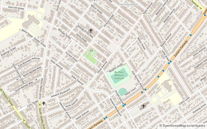
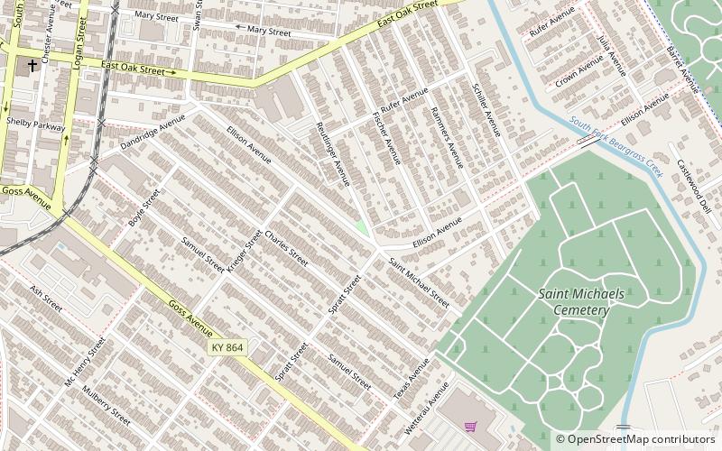
Schnitzelburg is a neighborhood three miles southeast of downtown Louisville, Kentucky. Schnitzelburg's boundaries are Clarks Lane to the south, Shelby Street to the west, CSX railroad tracks to the north, and Goss Avenue to the east. ()
Coordinates: 38°13'14"N, 85°44'19"W
Address
Central Louisville (Schnitzelburg)Louisville
ContactAdd
Social media
Add
Day trips
Schnitzelburg – popular in the area (distance from the attraction)
Nearby attractions include: The Filson Historical Society, Papa John's Cardinal Stadium, Mid-City Mall, Speed Art Museum.
Frequently Asked Questions (FAQ)
Which popular attractions are close to Schnitzelburg?
Nearby attractions include St. Elizabeth's Catholic Church, Louisville (5 min walk), Meriwether, Louisville (12 min walk), Gnadinger Park, Louisville (19 min walk), Eleven Jones Cave, Louisville (21 min walk).
How to get to Schnitzelburg by public transport?
The nearest stations to Schnitzelburg:
Bus
Bus
- Eastern Parkway / Pindell • Lines: 29East Bardstown Rd, 29East Oxmoor, 29West Bardstown Rd, 29West Oxmoor (6 min walk)


