The Avery, San Francisco
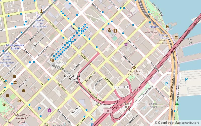
Map
Map

Facts and practical information
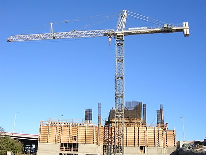
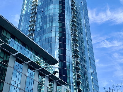
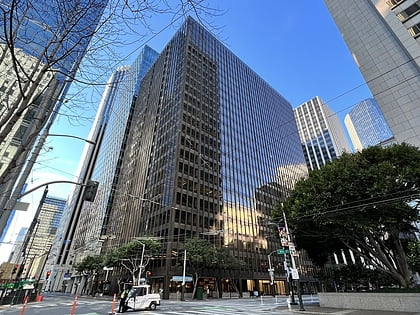
The Avery is a 57-story, 618 ft residential skyscraper in the South of Market district of San Francisco, California. The tower site is bounded by Folsom Street on the south and Fremont Street on the east. ()
Coordinates: 37°47'16"N, 122°23'39"W
Address
Southeast San Francisco (South Beach)San Francisco
ContactAdd
Social media
Add
Day trips
The Avery – popular in the area (distance from the attraction)
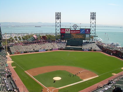
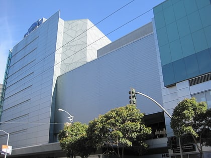
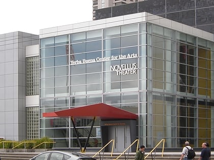
Nearby attractions include: Oracle Park, Metreon, Trocadero Transfer, Yerba Buena Center for the Arts.
Frequently Asked Questions (FAQ)
Which popular attractions are close to The Avery?
Nearby attractions include 340 Fremont Street, San Francisco (3 min walk), 33 Tehama, San Francisco (3 min walk), 399 Fremont Street, San Francisco (4 min walk), 181 Fremont, San Francisco (4 min walk).
How to get to The Avery by public transport?
The nearest stations to The Avery:
Bus
Trolleybus
Light rail
Tram
Metro
Ferry
Train
Bus
- Fremont Street & Howard Street • Lines: 101, 101X, 18, 2, 24, 24X, 27, 38, 38A, 4, 54, 56X, 58, 72, 72X, 74, 76, 8 (2 min walk)
- Howard Street & Fremont Street • Lines: 101, 27, 4 (4 min walk)
Trolleybus
- Mission Street & Fremont Street • Lines: 14 (6 min walk)
Light rail
- Folsom • Lines: N, S, T (9 min walk)
- Embarcadero • Lines: K, N, S, T (10 min walk)
Tram
- Market Street & Battery Street • Lines: F (10 min walk)
Metro
- Embarcadero • Lines: Blue, Green, Red, Yellow (10 min walk)
- Montgomery Street • Lines: Blue, Green, Red, Yellow (11 min walk)
Ferry
- Ferry Building Gate G • Lines: San Francisco Bay Ferry (13 min walk)
Train
- San Francisco 4th & King Street (21 min walk)

 Muni Metro