Garvan-Carroll Historic District, Hartford
Map
Facts and practical information
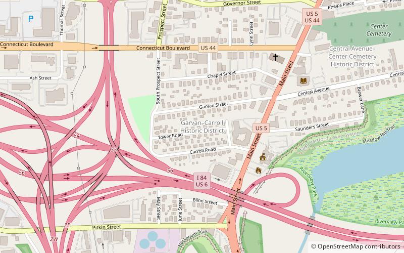
The Garvan-Carroll Historic District encompasses a primarily residential area near the center of East Hartford, Connecticut. Located just southwest of its Main Street downtown on South Prospect and Garvan Streets, and Carroll and Tower Roads, this area retains a high concentration of residential architecture built mainly between 1890 and the 1920s. It was listed on the National Register of Historic Places in 1991. ()
Coordinates: 41°46'1"N, 72°38'52"W
Address
Hartford
ContactAdd
Social media
Add
Getting there by public transportation
Public transportation stops near this location
- Bus
 Bus
Bus
- Calculate routeHartford Megabus 29 min walk
Day trips


Frequently Asked Questions (FAQ)
Which popular attractions are close to Garvan-Carroll Historic District?
Nearby attractions include First Congregational Church of East Hartford and Parsonage, East Hartford (6 min walk), St. John's Episcopal Church, East Hartford (16 min walk), Great River Park, Hartford (21 min walk), Connecticut Southern railroad bridge, Hartford (21 min walk).
How to get to Garvan-Carroll Historic District by public transport?
The nearest stations to Garvan-Carroll Historic District:
Bus
Bus
- Hartford Megabus (29 min walk)