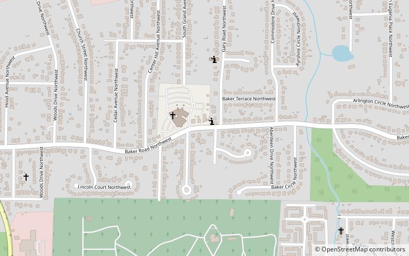
Center Hill, Atlanta
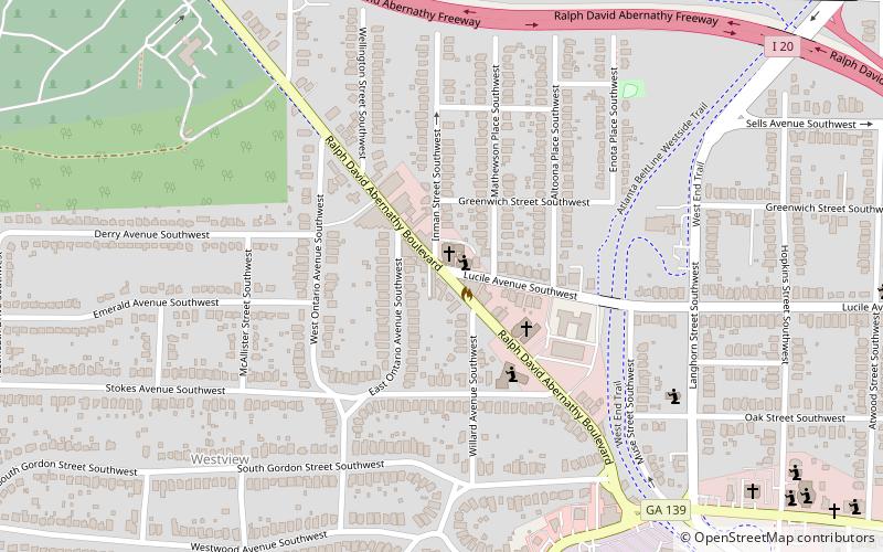
Map
Facts and practical information
Center Hill is a neighborhood located in northwest Atlanta, Georgia with a population of 4,741. Center Hill is located between Donald L. Hollowell Highway, Hamilton E. Holmes Drive, and Simpson Road. Center Hill is a neighborhood in Atlanta, Georgia. Many retirees live in Center Hill and residents tend to be liberal. ()
Coordinates: 33°46'13"N, 84°27'43"W
Address
Northwest Atlanta (Center Hill)Atlanta
ContactAdd
Social media
Add
Getting there by public transportation
Public transportation stops near this location
- Metro
 Metro
Metro
- Calculate routeHamilton E. Holmes 31 min walk
- Calculate routeWest Lake 39 min walk
Day trips


Frequently Asked Questions (FAQ)
How to get to Center Hill by public transport?
The nearest stations to Center Hill:
Metro
Metro
- Hamilton E. Holmes • Lines: Blue (31 min walk)
- West Lake • Lines: Blue (39 min walk)