Carrick Borough Building, Pittsburgh
Map
Facts and practical information
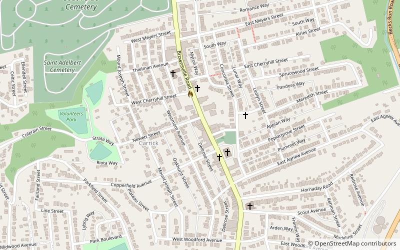
The Carrick Borough Building or Carrick Municipal Building is a historic building in the Carrick neighborhood of Pittsburgh, Pennsylvania. It was built in 1905–06, shortly after Carrick was organized as a borough, and housed the town's municipal government, volunteer fire department, and jail. After Carrick was annexed into the city of Pittsburgh in 1927, the building remained in use as a fire station until 1957 and has since been converted to commercial use. The Borough Building was designed by Edward Stotz in an eclectic style with strong Dutch Revival influences. It was nominated as a Pittsburgh historic landmark by Preservation Pittsburgh in October 2018 and the designation was approved in April 2019. ()
Coordinates: 40°23'49"N, 79°59'17"W
Address
South Side (Carrick)Pittsburgh
ContactAdd
Social media
Add
Getting there by public transportation
Public transportation stops near this location
- Bus
- Light rail
 Bus
Bus
- Calculate routeDenise 16 min walk
- Calculate routeSouth Bank 16 min walk
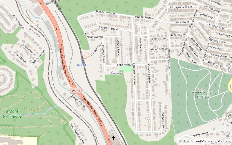
- Calculate routeBon Air 28 min walk
- Calculate routeWhited 16 min walk
- Calculate routeSouth Bank 16 min walk
- Calculate routeCentral 18 min walk
- Calculate routeInglewood 21 min walk
Day trips


Frequently Asked Questions (FAQ)
Which popular attractions are close to Carrick Borough Building?
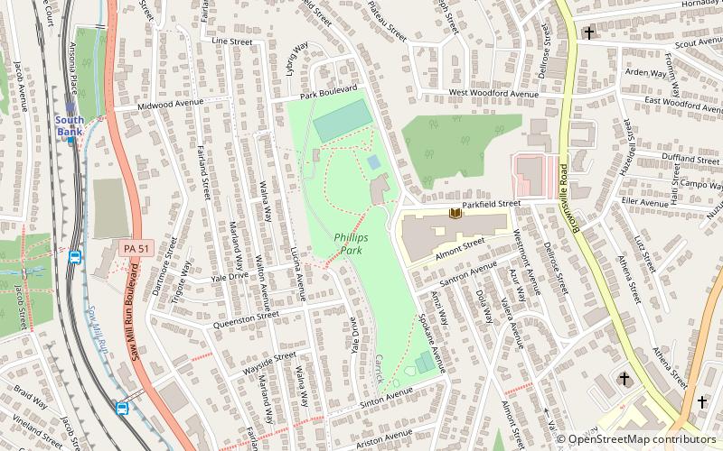
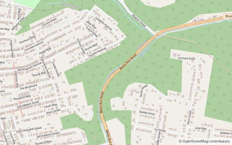
Nearby attractions include Carrick, Pittsburgh (5 min walk), Wigman House, Pittsburgh (8 min walk), Phillips Park, Pittsburgh (12 min walk), Becks Run Road, Pittsburgh (16 min walk).
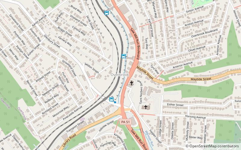
How to get to Carrick Borough Building by public transport?
The nearest stations to Carrick Borough Building:
Light rail
Bus
Light rail
- Denise • Lines: Blue, Silver (16 min walk)
- South Bank • Lines: Blue, Silver (16 min walk)
Bus
- Whited (16 min walk)
- South Bank (16 min walk)