Bon Air, Pittsburgh

Map
Facts and practical information
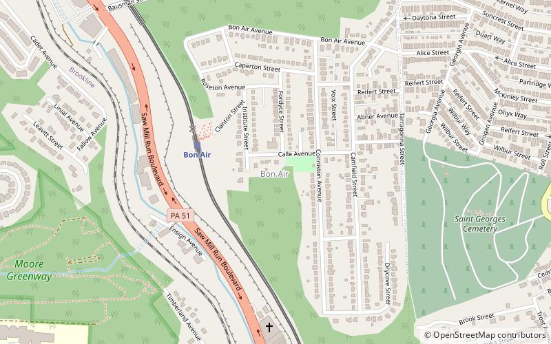
Bon Air is a neighborhood in the south portion of Pittsburgh, Pennsylvania, United States. Its two zip codes are 15226 and 15210, and it is represented in the Pittsburgh City Council by the council member for District 4. ()
Area: 200.32 acres (0.313 mi²)Coordinates: 40°24'26"N, 80°0'3"W
Address
South Side (Bon Air)Pittsburgh
ContactAdd
Social media
Add
Day trips
Bon Air – popular in the area (distance from the attraction)
Nearby attractions include: South Busway, Carrick Borough Building, Former St. George Roman Catholic Church, Phillips Park.
Frequently Asked Questions (FAQ)
Which popular attractions are close to Bon Air?
Nearby attractions include South Busway, Pittsburgh (16 min walk), Beltzhoover, Pittsburgh (18 min walk), Knoxville, Pittsburgh (19 min walk), Wigman House, Pittsburgh (19 min walk).
How to get to Bon Air by public transport?
The nearest stations to Bon Air:
Light rail
Bus
Light rail
- Bon Air • Lines: Blue, Silver (4 min walk)
- Denise • Lines: Blue, Silver (14 min walk)
Bus
- Edgebrook (8 min walk)
- Dawn (17 min walk)


