Becks Run Road, Pittsburgh

Map
Facts and practical information
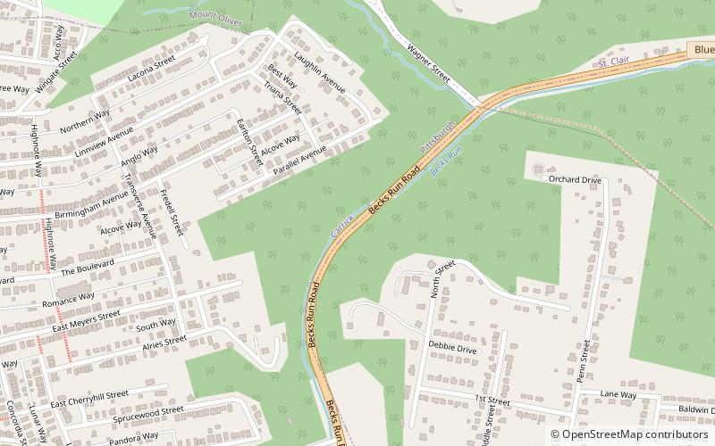
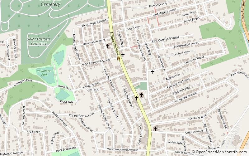
Becks Run Road is a street in the Pittsburgh metropolitan area. It connects Brownsville Road in the Carrick neighborhood of Pittsburgh with East Carson Street on the South Side. It is part of the Blue Belt road system. It is one of few roads connecting the low-lying areas along the Monongahela River with the higher elevations to the south, and is therefore heavily traveled, in spite of being steep and narrow in some sections. ()
Coordinates: 40°24'8"N, 79°58'44"W
Address
BaldwinPittsburgh
ContactAdd
Social media
Add
Day trips
Becks Run Road – popular in the area (distance from the attraction)
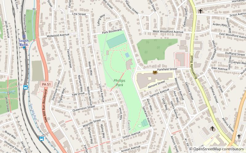
Nearby attractions include: Carrick Borough Building, Phillips Park, Brownsville Road, Wigman House.
Frequently Asked Questions (FAQ)
Which popular attractions are close to Becks Run Road?
Nearby attractions include Wigman House, Pittsburgh (14 min walk), Carrick Borough Building, Pittsburgh (16 min walk), Carrick, Pittsburgh (17 min walk).
How to get to Becks Run Road by public transport?
The nearest stations to Becks Run Road:
Light rail
Bus
Light rail
- Denise • Lines: Blue, Silver (28 min walk)
- South Bank • Lines: Blue, Silver (31 min walk)
Bus
- Whited (31 min walk)
- South Bank (32 min walk)


