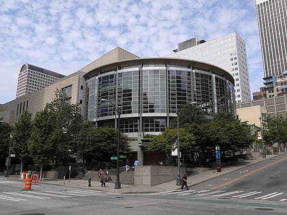
The Emerald, Seattle
Map
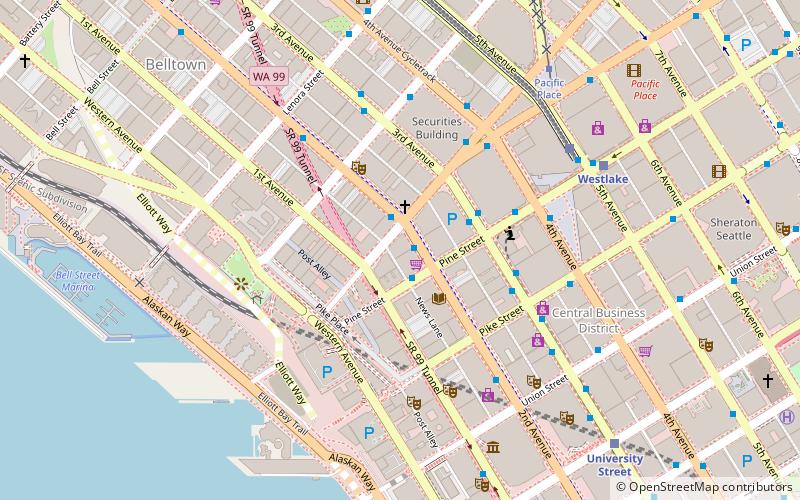
Map

Facts and practical information
Coordinates: 47°36'38"N, 122°20'26"W
Address
Downtown Seattle (Pike-Market)Seattle
ContactAdd
Social media
Add
Day trips
The Emerald – popular in the area (distance from the attraction)
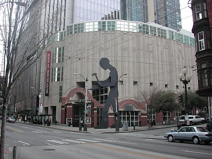
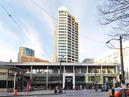
Nearby attractions include: Seattle Art Museum, Seattle Aquarium, Westlake Center, Pike Place Chowder.
Frequently Asked Questions (FAQ)
Which popular attractions are close to The Emerald?
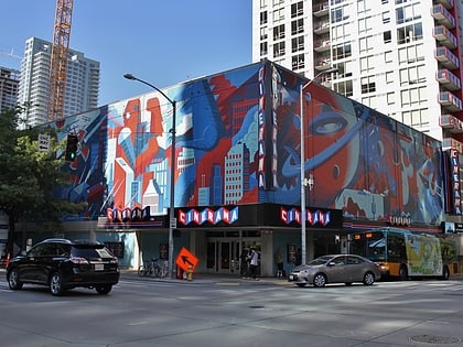
Nearby attractions include Helios Building, Seattle (1 min walk), Butterworth Building, Seattle (2 min walk), United Shopping Tower, Seattle (2 min walk), Moore Theatre, Seattle (3 min walk).
How to get to The Emerald by public transport?
The nearest stations to The Emerald:
Bus
Trolleybus
Train
Light rail
Tram
Ferry
Bus
- 2nd Ave & Stewart St • Lines: 111, 114, 212, 214, 216, 217, 218, 219, 29, 402, 405, 410, 412, 413, 415, 416, 417, 421, 422, 424, 425, 435, 554, 577, 578, 594 (1 min walk)
- 3rd Ave & Pine St • Lines: 120, 16, 17, 18, 19, 2, 21E, 24, 27, 28, 33, 37, 40, 5, 55, 56, 57, 62 (3 min walk)
Trolleybus
- 3rd Ave & Virginia St • Lines: 1, 13, 2, 3, 4 (4 min walk)
- 3rd Ave & Seneca St • Lines: 1, 13, 3, 4, 49 (10 min walk)
Train
- Westlake Center (6 min walk)
- Seattle Center (22 min walk)
Light rail
- Westlake • Lines: 1 (6 min walk)
- University Street • Lines: 1 (8 min walk)
Tram
- Pacific Place • Lines: South Lake Union Streetcar (6 min walk)
- Westlake & Thomas • Lines: South Lake Union Streetcar (20 min walk)
Ferry
- Seattle Waterfront • Lines: Seattle-Blake Island (10 min walk)
- Seattle • Lines: Seattle-Bremerton, Seattle-Victoria, Seattle-Winslow (17 min walk)

