Downtown Seattle, Seattle

Facts and practical information
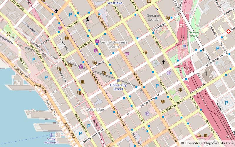
Downtown is the central business district of Seattle, Washington. It is fairly compact compared with other city centers on the U.S. West Coast due to its geographical situation, being hemmed in on the north and east by hills, on the west by Elliott Bay, and on the south by reclaimed land that was once tidal flats. It is bounded on the north by Denny Way, beyond which are Lower Queen Anne, Seattle Center, and South Lake Union; on the east by Interstate 5, beyond which is Capitol Hill to the northeast and Central District to the east; on the south by S Dearborn Street, beyond which is Sodo; and on the west by Elliott Bay, a part of Puget Sound. ()
Downtown Seattle (Seattle Central Business District)Seattle
Downtown Seattle – popular in the area (distance from the attraction)
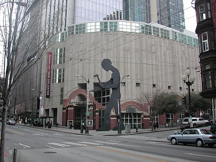
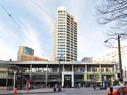
Nearby attractions include: Seattle Art Museum, Westlake Center, Pike Place Chowder, Westlake Park.
Frequently Asked Questions (FAQ)
Which popular attractions are close to Downtown Seattle?
How to get to Downtown Seattle by public transport?
Light rail
- University Street • Lines: 1 (1 min walk)
- Westlake • Lines: 1 (7 min walk)
Bus
- 3rd Ave & Union St • Lines: 113, 120, 121, 122, 123, 124, 131, 132, 16, 17, 18, 19, 2, 21E, 24, 27, 28, 33, 37, 40, 5, 55, 56, 57, 62 (1 min walk)
- Union St & 4th Ave • Lines: 101, 102, 150, 550 (2 min walk)
Trolleybus
- 3rd Ave & Seneca St • Lines: 1, 13, 3, 4, 49 (3 min walk)
- 3rd Ave & Virginia St • Lines: 1, 13, 2, 3, 4 (11 min walk)
Train
- Westlake Center (7 min walk)
- Seattle King Street (20 min walk)
Ferry
- Seattle Waterfront • Lines: Seattle-Blake Island (8 min walk)
- Seattle • Lines: Seattle-Bremerton, Seattle-Winslow (12 min walk)
Tram
- Pacific Place • Lines: South Lake Union Streetcar (9 min walk)
- Occidental Mall • Lines: First Hill Streetcar (16 min walk)

