Lake Shore and Michigan Southern Railway, Chicago
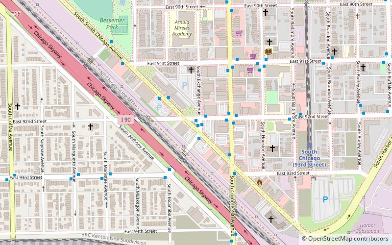
Map
Facts and practical information
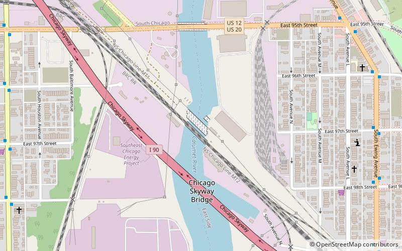
Lake Shore and Michigan Southern Railway, Bridge No. 6 is a steel vertical-lift bridge consisting of two parallel spans, carrying two tracks each, across the Calumet River in Chicago, Illinois, United States. The structure is currently owned by Norfolk Southern Railway but disused and kept in a raised position. ()
Coordinates: 41°43'11"N, 87°32'34"W
Address
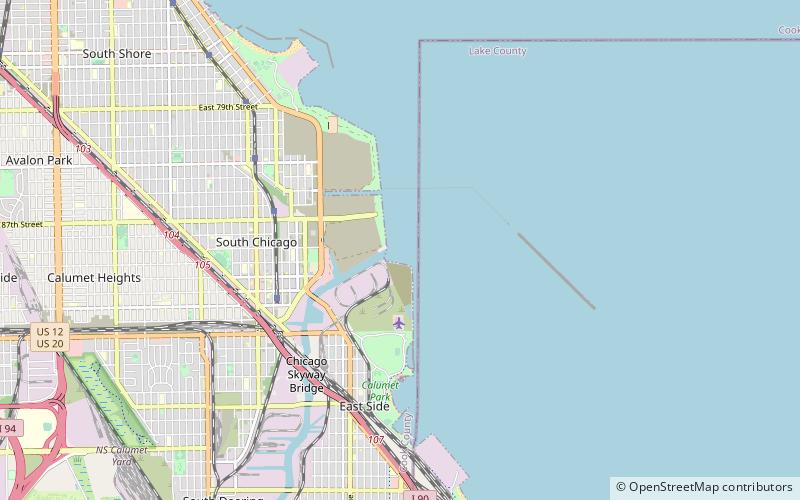
Far Southeast Side (East Side)Chicago
ContactAdd
Social media
Add
Getting there by public transportation
Public transportation stops near this location
- Bus
- Train
 Bus
Bus
- Calculate routeEwing & 97th Street 10 min walk
- Calculate routeSouth Chicago 15 min walk
Maps Rail "L"
Rail "L"Day trips


Frequently Asked Questions (FAQ)
Which popular attractions are close to Lake Shore and Michigan Southern Railway?
Nearby attractions include Calumet Park, Chicago (19 min walk), National Shrine of Saint Jude, Chicago (20 min walk), Drake Fountain, Chicago (20 min walk).
How to get to Lake Shore and Michigan Southern Railway by public transport?
The nearest stations to Lake Shore and Michigan Southern Railway:
Bus
Train
Bus
- Ewing & 97th Street • Lines: 26, 30 (10 min walk)
Train
- South Chicago (15 min walk)