Port of Chicago, Chicago
Map
Facts and practical information
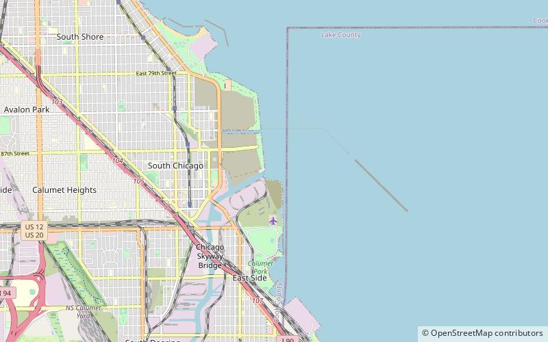
The Port of Chicago consists of several major port facilities within the city of Chicago, Illinois, operated by the Illinois International Port District. It is a multimodal facility featuring Senator Dan Dougherty Harbor, the Iroquois Landing Lakefront Terminus, and Harborside International Golf Center. The central element of the Port District, Calumet Harbor, is maintained by the U.S. Army Corps of Engineers. ()
Coordinates: 41°44'1"N, 87°31'36"W
Getting there by public transportation
Public transportation stops near this location
- Bus
- Train
 Bus
Bus
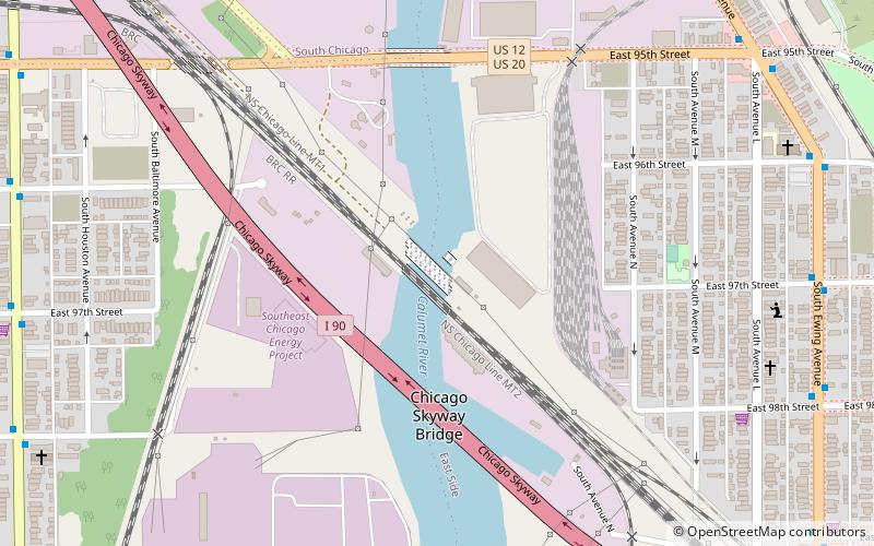
- Calculate route9320 S Ewing 22 min walk
- Calculate routeEwing & 95th Street 23 min walk
- Calculate routeMackinaw & 92nd Street 23 min walk
- Calculate route87th Street 30 min walk
- Calculate routeSouth Chicago 30 min walk
Maps Rail "L"
Rail "L"Day trips


Frequently Asked Questions (FAQ)
How to get to Port of Chicago by public transport?
The nearest stations to Port of Chicago:
Bus
Train
Bus
- 9320 S Ewing • Lines: 26, 30 (22 min walk)
- Ewing & 95th Street • Lines: 26, 30 (23 min walk)
Train
- 87th Street (30 min walk)
- South Chicago (30 min walk)