Calumet Park, Chicago
Map
Map

Facts and practical information
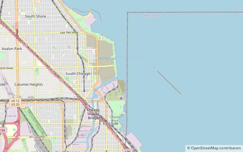
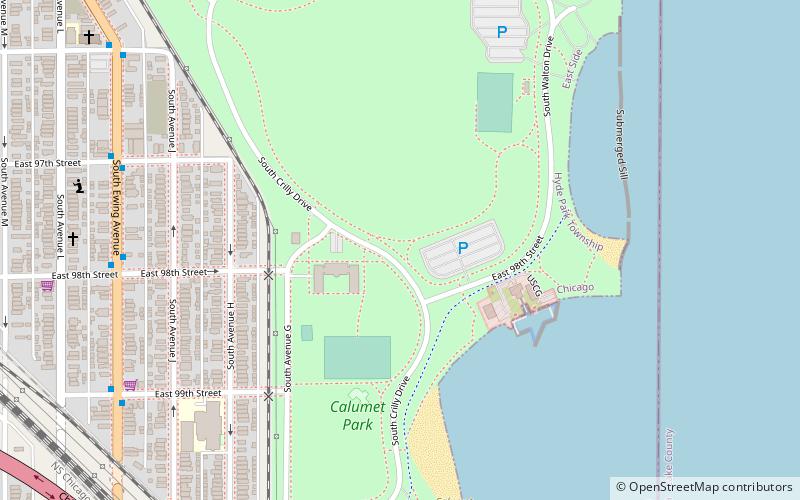
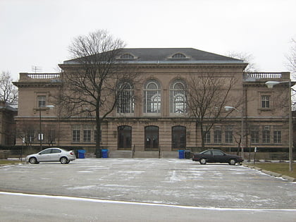
Calumet Park is a 198-acre park in Chicago, Illinois. It provides access to Lake Michigan from the East Side neighborhood on the city's Southeast Side. The park contains approximately 0.9 miles of lake frontage from 95th Street to 102nd Street. The park is listed on the National Register of Historic Places. ()
Elevation: 587 ft a.s.l.Coordinates: 41°43'5"N, 87°31'45"W
Address
9801 South Avenue GFar Southeast Side (East Side)Chicago
Contact
+1 312-747-6039
Social media
Add
Day trips
Calumet Park – popular in the area (distance from the attraction)
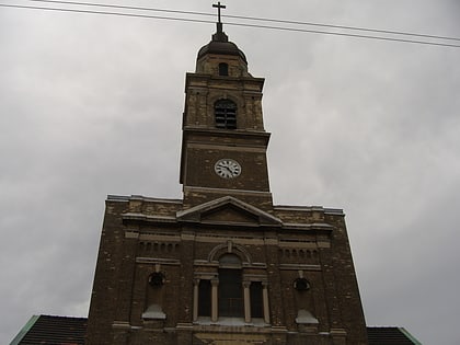
Nearby attractions include: Port of Chicago, National Shrine of Saint Jude, Lake Shore and Michigan Southern Railway, Church of the Immaculate Conception.
Frequently Asked Questions (FAQ)
How to get to Calumet Park by public transport?
The nearest stations to Calumet Park:
Bus
Train
Bus
- Ewing & 98th Street • Lines: 26, 30 (8 min walk)
Train
- South Chicago (30 min walk)
 Rail "L"