Ellisburg Circle, Cherry Hill
Map
Facts and practical information
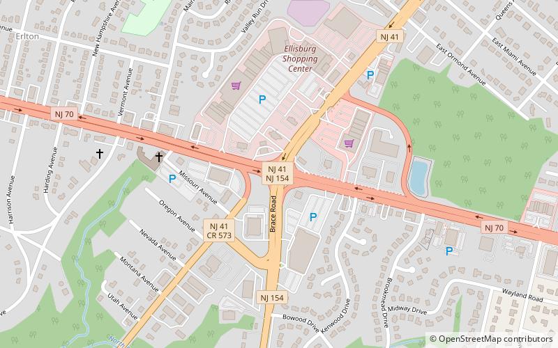
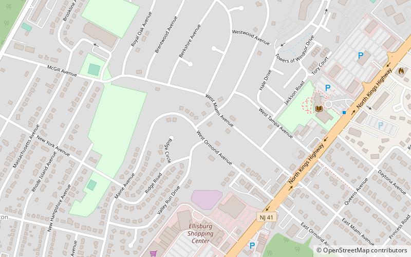
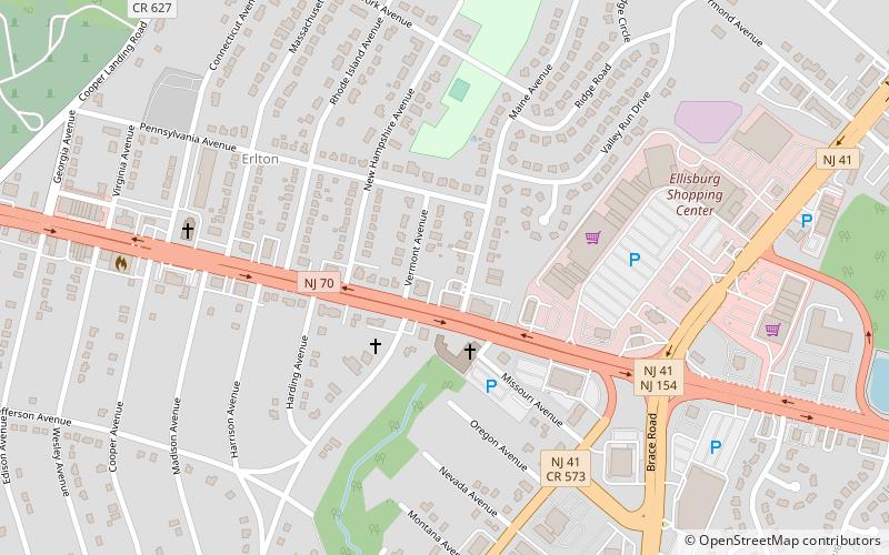
The Ellisburg Circle was a traffic circle that stood in Cherry Hill Township, New Jersey from 1938 to 1992, at the intersection between Route 41, Route 70 and Route 154. The name is used as a shopping center at the location of the former circle. ()
Coordinates: 39°54'50"N, 75°0'37"W
Address
Cherry Hill
ContactAdd
Social media
Add
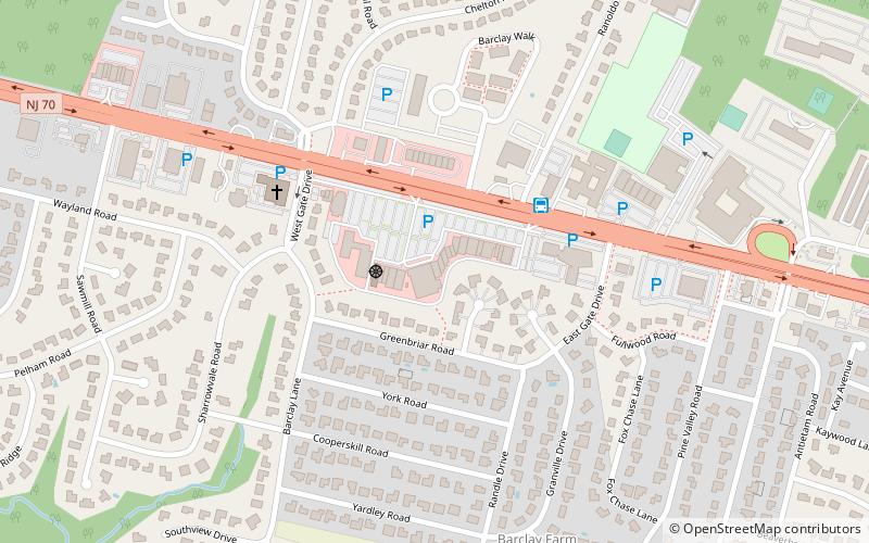
Getting there by public transportation
Public transportation stops near this location
- Bus
 Bus
Bus
- Calculate route66618 23 min walk
Day trips


Frequently Asked Questions (FAQ)
Which popular attractions are close to Ellisburg Circle?
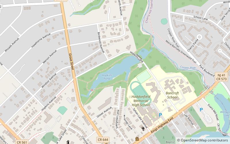
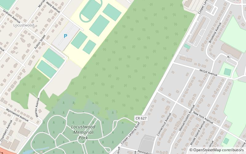
Nearby attractions include Erlton-Ellisburg, Cherry Hill (7 min walk), Ellisburg, Cherry Hill (11 min walk), Cherry Hill Public Library, Cherry Hill (15 min walk), Locustwood Memorial Park, Cherry Hill (21 min walk).
How to get to Ellisburg Circle by public transport?
The nearest stations to Ellisburg Circle:
Bus
Bus
- 66618 (23 min walk)