Morton Road Historic District, Newton
Map

Map

Facts and practical information
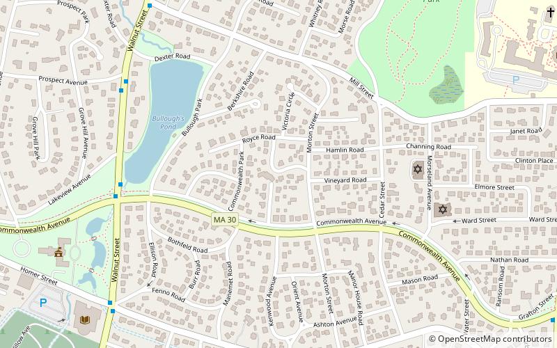
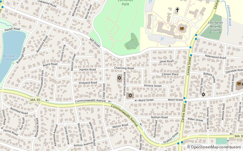
The Morton Road Historic District encompasses an example of a small residential subdivision in Newton, Massachusetts that was attractively designed in 1915. The architect-designed subdivision filled in an area otherwise surrounded by roads that had been developed earlier, and was built out between 1915 and 1928, with a fairly uniform use of Craftsman and Tudor Revival styling. The district was listed on the National Register of Historic Places in 1990. ()
Coordinates: 42°20'21"N, 71°12'7"W
Address
Newton (Newton Centre)Newton
ContactAdd
Social media
Add
Day trips
Morton Road Historic District – popular in the area (distance from the attraction)
Nearby attractions include: Piccadilly Square, Newton City Hall and War Memorial, Newton Free Library, First Baptist Church in Newton.
Frequently Asked Questions (FAQ)
Which popular attractions are close to Morton Road Historic District?
Nearby attractions include Bullough's Pond, Newton (6 min walk), Shaarei Tefillah, Newton (6 min walk), James Lorin Richards House, Newton (9 min walk), Newton City Hall and War Memorial, Newton (10 min walk).
How to get to Morton Road Historic District by public transport?
The nearest stations to Morton Road Historic District:
Bus
Light rail
Train
Bus
- Walnut St @ Prospect St • Lines: 59 (8 min walk)
- 791 Walnut St • Lines: 59 (13 min walk)
Light rail
- Newton Centre • Lines: D (22 min walk)
- Newton Highlands • Lines: D (30 min walk)
Train
- Newtonville (23 min walk)


