Meriwether, Louisville
Map

Map

Facts and practical information
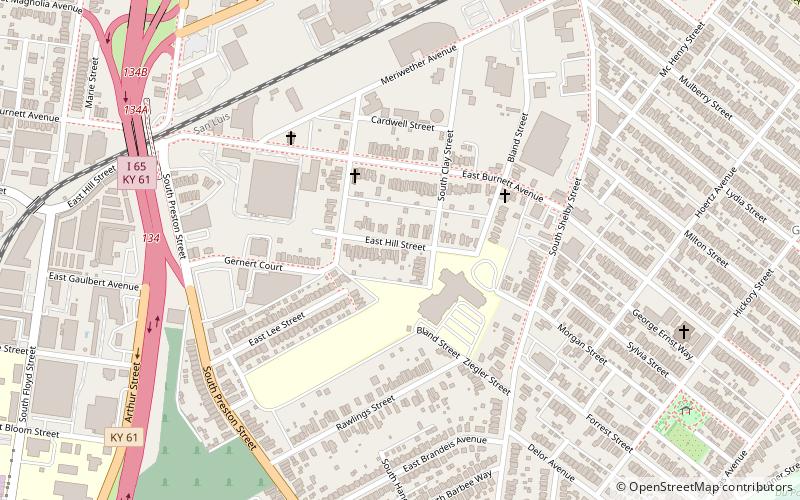
Meriwether is a neighborhood two miles southeast of downtown Louisville, Kentucky, USA, and just east of the University of Louisville. It was laid out by David Meriwether in 1871 and the first houses were built in 1891. Nearly all of the homes are shotgun houses. ()
Coordinates: 38°13'27"N, 85°44'45"W
Address
Central Louisville (Merriwether)Louisville
ContactAdd
Social media
Add
Day trips
Meriwether – popular in the area (distance from the attraction)
Nearby attractions include: The Filson Historical Society, Central Park, Speed Art Museum, The Conrad-Caldwell House Museum.
Frequently Asked Questions (FAQ)
Which popular attractions are close to Meriwether?
Nearby attractions include St. Elizabeth's Catholic Church, Louisville (9 min walk), Schnitzelburg, Louisville (12 min walk), Shelby Park Neighborhood Association, Louisville (16 min walk), St. Vincent de Paul Catholic Church, Louisville (18 min walk).
How to get to Meriwether by public transport?
The nearest stations to Meriwether:
Bus
Bus
- Shelby / Fetter • Lines: 45XNorthBroadway, 45XNorthMain (17 min walk)
- Eastern Parkway / Delor • Lines: 29East Bardstown Rd, 29East Oxmoor, 29West Bardstown Rd, 29West Oxmoor (17 min walk)


