Northwest Bakersfield, Bakersfield

Map
Facts and practical information
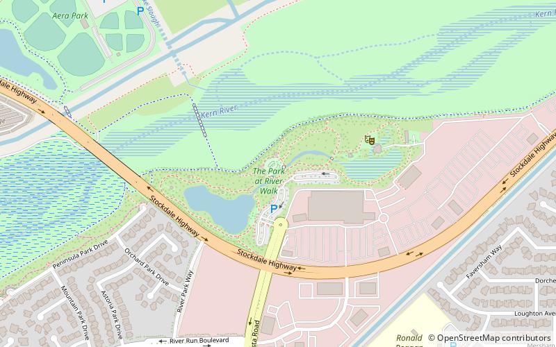
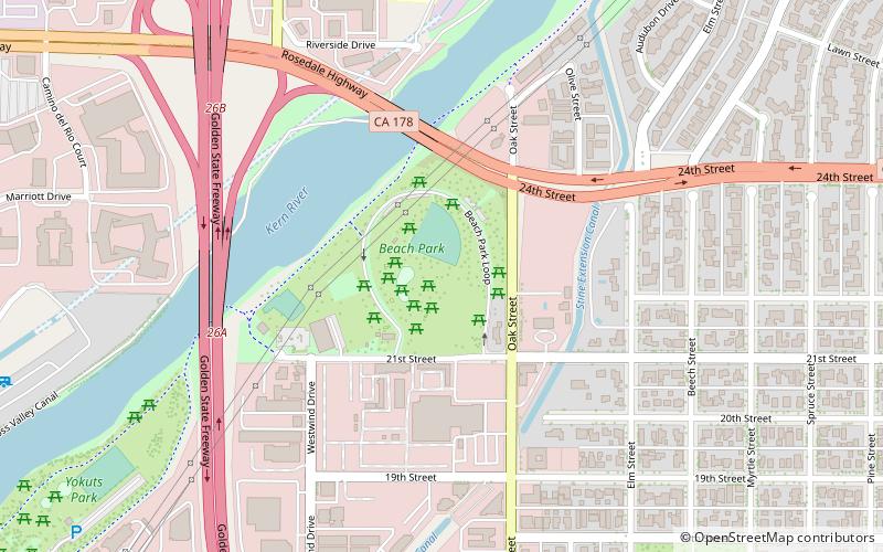
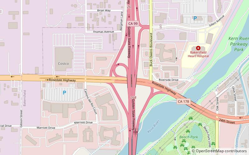
Northwest Bakersfield is the northwest region of Bakersfield, California. It is bounded by the Kern River/Stockdale Highway to the south and State Route 99 to the east. The other boundaries are the city limits themselves. ()
Area: 28.14 mi²Coordinates: 35°24'0"N, 119°6'14"W
Address
Northwest Bakersfield (San Trope)Bakersfield
ContactAdd
Social media
Add
Day trips
Northwest Bakersfield – popular in the area (distance from the attraction)
Nearby attractions include: Kern County Museum, The Links at Riverlakes Ranch, Fox Theater, Buck Owens' Crystal Palace.


