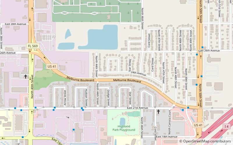
Highland Pines, Tampa
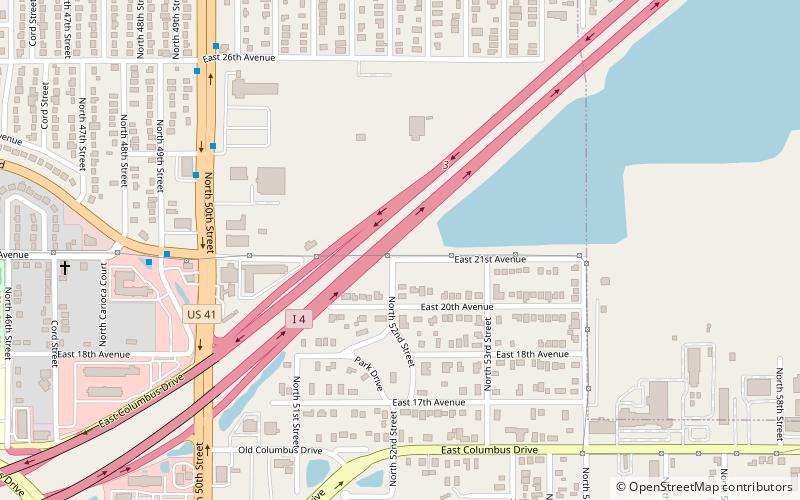
Map
Facts and practical information
Highland Pines near Prescott in Yavapai County, Arizona, United States ()
Coordinates: 27°58'22"N, 82°24'28"W
Address
Northeast Tampa (Highland Pines)Tampa
ContactAdd
Social media
Add
Getting there by public transportation
Public transportation stops near this location
- Bus
 Bus
Bus
- Calculate route21st Avenue @ 43rd Street 6 min walk
- Calculate routeMelburne Boulevard @ North 49th Street 10 min walk
Day trips
Frequently Asked Questions (FAQ)
Which popular attractions are close to Highland Pines?
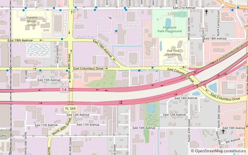
Nearby attractions include Myrtle Hill Memorial Park, Tampa (13 min walk), Beasley, Tampa (16 min walk), Florence Villa, Tampa (17 min walk), Eastern Heights, Tampa (17 min walk).
How to get to Highland Pines by public transport?
The nearest stations to Highland Pines:
Bus
Bus
- 21st Avenue @ 43rd Street • Lines: 6 (6 min walk)
- Melburne Boulevard @ North 49th Street • Lines: 6 (10 min walk)