Dixie Farms, Tampa
Map
Facts and practical information
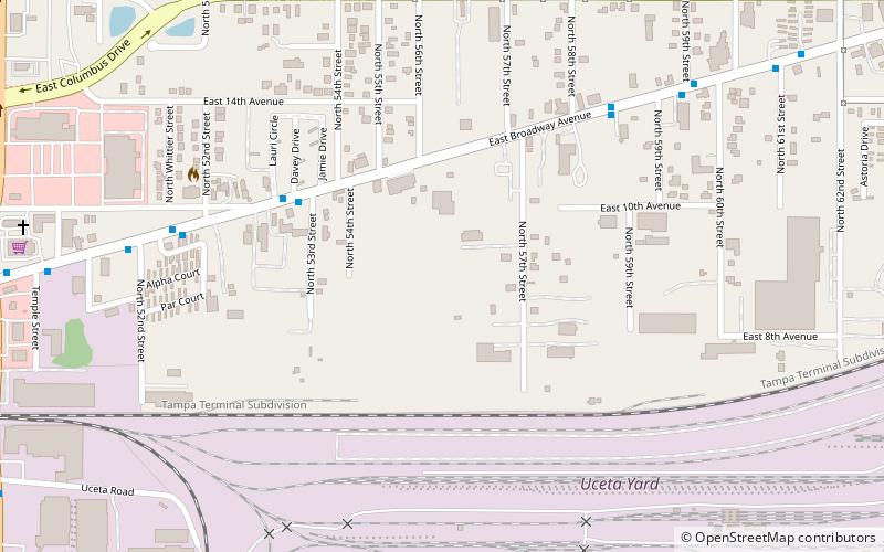
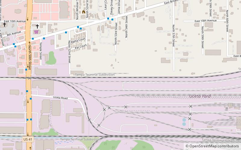
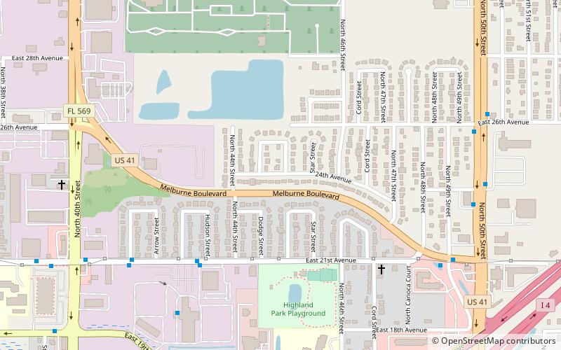
Dixie Farms is a neighborhood near the district of Uceta Yard, which represents District 5 of the Tampa City Council. The 2000 census numbers were unavailable, however, the latest estimated population was 34 and the population density was 249 people per square mile. ()
Coordinates: 27°57'43"N, 82°23'35"W
Address
Northeast Tampa (East Side Commercial Area)Tampa
ContactAdd
Social media
Add
Getting there by public transportation
Public transportation stops near this location
- Bus
 Bus
Bus
- Calculate route50th Street @ Gyro Restaurant 15 min walk
- Calculate route7th Avenue @ 50th Street 16 min walk
- Calculate routeBroadway Avenue @ 50th Street Ws 16 min walk
Day trips
Frequently Asked Questions (FAQ)
Which popular attractions are close to Dixie Farms?
Nearby attractions include Uceta Yard, Tampa (6 min walk), Beasley, Tampa (16 min walk), Florence Villa, Tampa (17 min walk).
How to get to Dixie Farms by public transport?
The nearest stations to Dixie Farms:
Bus
Bus
- 50th Street @ Gyro Restaurant • Lines: 8 (15 min walk)
- 7th Avenue @ 50th Street • Lines: 8 (16 min walk)