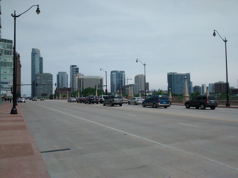
DeKoven Street, Chicago
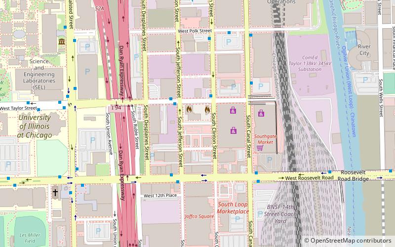
Map
Facts and practical information
DeKoven Street is a street in Chicago, Illinois named for John DeKoven, one of the founders of the Northern Trust Company. ()
Coordinates: 41°52'8"N, 87°38'29"W
Address
West Side (Near West Side)Chicago
ContactAdd
Social media
Add
Getting there by public transportation
Public transportation stops near this location
- Metro
- Bus
- Train
 Metro
Metro
- Calculate routeClinton & Taylor 2 min walk
- Calculate routeTaylor & Jefferson 2 min walk
- Calculate routeRoosevelt & Jefferson 4 min walk
- Calculate routeCanal & Taylor 4 min walk
- Calculate routeClinton 12 min walk
- Calculate routeUIC-Halsted 16 min walk
- Calculate routeLaSalle 18 min walk
- Calculate routeLaSalle/Van Buren 19 min walk
- Calculate routeLaSalle Street Station 17 min walk
- Calculate routeHalsted Street 18 min walk
- Calculate routeChicago Union Station 18 min walk
- Calculate routeMuseum Campus/11th Street 26 min walk
Maps Rail "L"
Rail "L"Day trips


Frequently Asked Questions (FAQ)
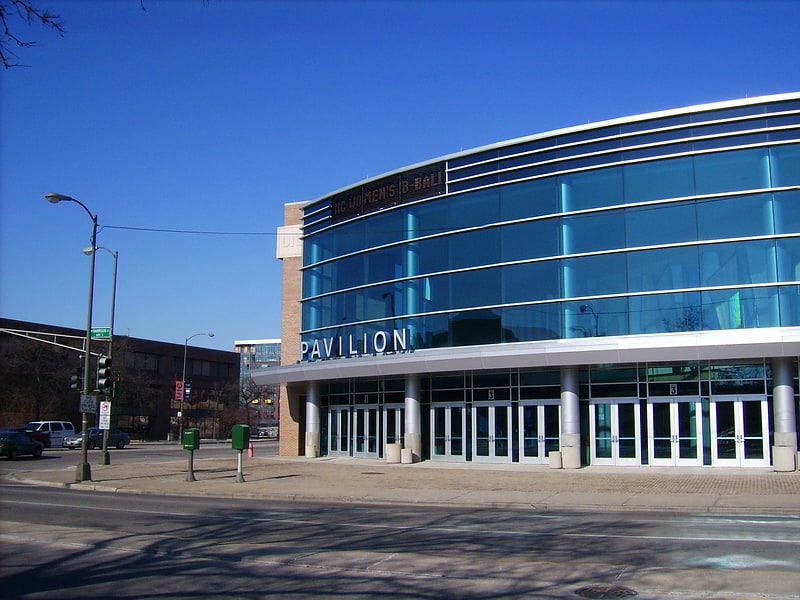
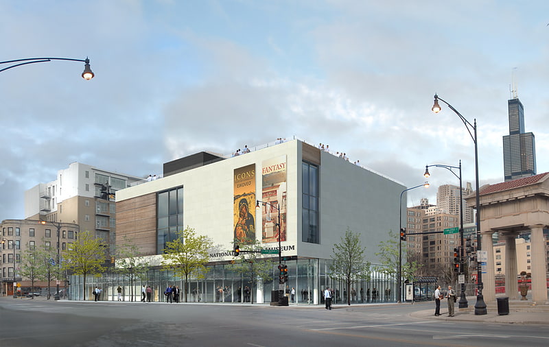
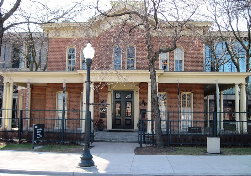
Which popular attractions are close to DeKoven Street?
Nearby attractions include Roosevelt Road, Chicago (4 min walk), UIC Skyspace, Chicago (9 min walk), Jane Addams Hull-House Museum, Chicago (10 min walk), River City Building, Chicago (11 min walk).
How to get to DeKoven Street by public transport?
The nearest stations to DeKoven Street:
Bus
Metro
Train
Bus
- Clinton & Taylor • Lines: 157 (2 min walk)
- Taylor & Jefferson • Lines: 157 (2 min walk)
Metro
- Clinton • Lines: Blue (12 min walk)
- UIC-Halsted • Lines: Blue (16 min walk)
Train
- LaSalle Street Station (17 min walk)
- Halsted Street (18 min walk)