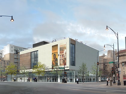
Roosevelt Road, Chicago
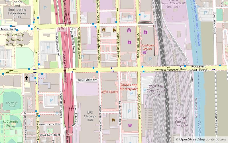

Facts and practical information
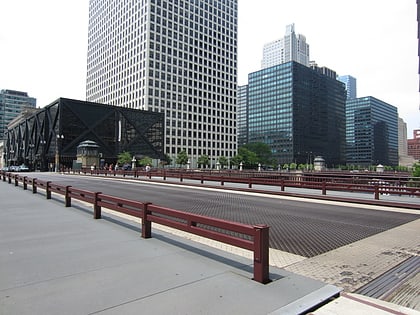
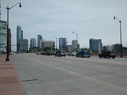
Roosevelt Road is a major east-west street in the city of Chicago, Illinois, and its western suburbs. It is 1200 South in the city's street numbering system, but only 1 mile south of Madison Street. It runs under this name from Columbus Drive to the western city limits, then continues through the western suburbs including Lombard, Wheaton and, West Chicago until it reaches Geneva, where it is known as State Street. 12th Street was renamed to Roosevelt Road on May 25, 1919, in recognition of President Theodore Roosevelt, who had died the previous January. In 1928 the new U.S. Route 330, a different alignment of US 30, went down Roosevelt Road to Geneva, in 1942 it was redesignated as US 30 Alternate. In 1972, after the route had been discontinued, Roosevelt Road outside Chicago became Illinois Route 38. ()
West Side (Near West Side)Chicago
Roosevelt Road – popular in the area (distance from the attraction)
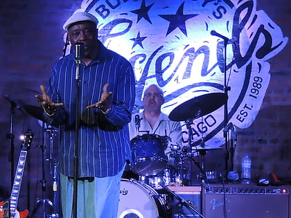
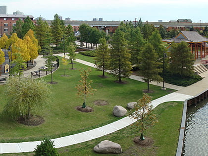
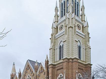
Nearby attractions include: Buddy Guy's Legends, National Hellenic Museum, Jane Addams Hull-House Museum, Ping Tom Memorial Park.
Frequently Asked Questions (FAQ)
Which popular attractions are close to Roosevelt Road?
How to get to Roosevelt Road by public transport?
Bus
- Roosevelt & Jefferson • Lines: 12, 18, (N) N62 (2 min walk)
- Clinton & Taylor • Lines: 157 (5 min walk)
Train
- Halsted Street (15 min walk)
- LaSalle Street Station (19 min walk)
Metro
- Clinton • Lines: Blue (15 min walk)
- Roosevelt • Lines: Green, Orange, Red (19 min walk)
 Rail "L"