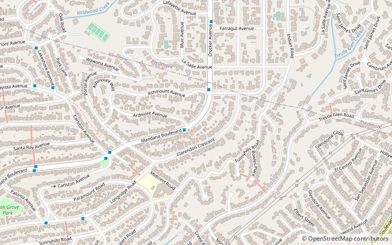
Crocker Highlands, Oakland
Map
Facts and practical information
Crocker Highlands is a neighborhood located in the north-eastern area of Oakland, California, United States. ()
Coordinates: 37°48'48"N, 122°13'33"W
Address
Lower Hills District (Crocker Highlands)Oakland
ContactAdd
Social media
Add
Getting there by public transportation
Public transportation stops near this location
- Bus
 Bus
Bus
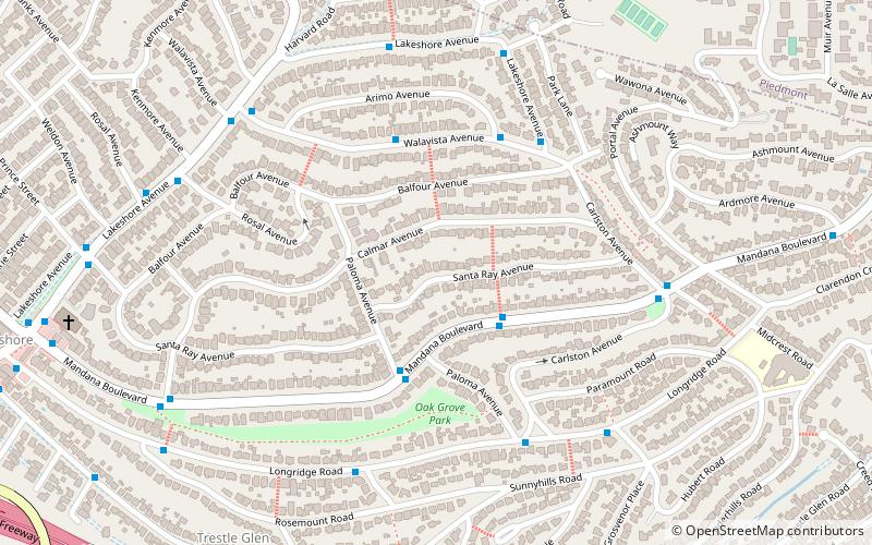
- Calculate routeHampton Road & Seaview Avenue 9 min walk
- Calculate routeLakeshore Avenue & Walavista Avenue 9 min walk
- Calculate routeWalavista Avenue & Arimo Avenue 11 min walk
Day trips


Frequently Asked Questions (FAQ)
Which popular attractions are close to Crocker Highlands?
Nearby attractions include Trestle Glen, Oakland (12 min walk), Piedmont, Oakland (18 min walk), Leimert Bridge, Oakland (18 min walk).
How to get to Crocker Highlands by public transport?
The nearest stations to Crocker Highlands:
Bus
Bus
- Hampton Road & Seaview Avenue • Lines: 33 (9 min walk)
- Lakeshore Avenue & Walavista Avenue • Lines: 29 (9 min walk)