Serra Mesa, San Diego
Map

Map

Facts and practical information
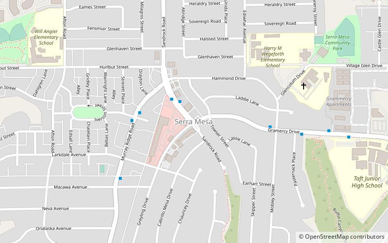
Serra Mesa is a community in San Diego, California, roughly between Interstate 805 and Interstate 15, north of Friars Road and south of Aero Drive. It is named for Junípero Serra, a Majorcan Franciscan friar who founded the Mission San Diego de Alcalá. Adjacent communities include Kearny Mesa, Tierrasanta, Mission Valley, and Linda Vista. ()
Coordinates: 32°48'10"N, 117°8'20"W
Address
Eastern San Diego (Serra Mesa)San Diego
ContactAdd
Social media
Add
Day trips
Serra Mesa – popular in the area (distance from the attraction)
Nearby attractions include: San Diego Stadium, Fashion Valley, Westfield Mission Valley, Mission San Diego de Alcala.
Frequently Asked Questions (FAQ)
How to get to Serra Mesa by public transport?
The nearest stations to Serra Mesa:
Bus
Bus
- Health Center Drive and Frost Street • Lines: 120 (26 min walk)


