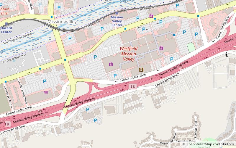
Mission Valley, San Diego

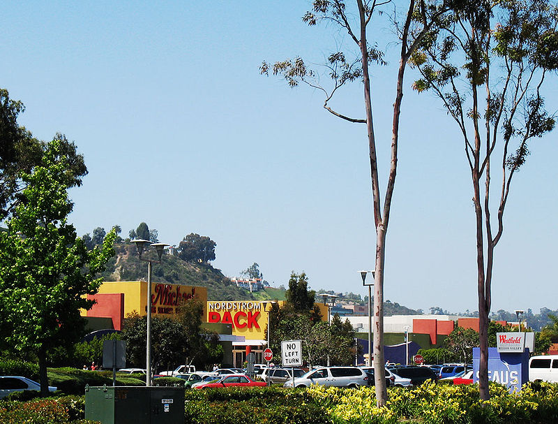
Gallery (3)
Map
Map
Gallery
Facts and practical information
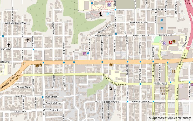
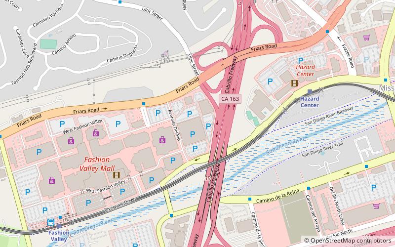
Mission Valley is a wide river valley trending east–west in San Diego, California, United States, through which the San Diego River flows to the Pacific Ocean. For planning purposes the city of San Diego divides it into two neighborhoods: Mission Valley East and Mission Valley West. ()
Address
Eastern San Diego (Mission Valley)San Diego
ContactAdd
Social media
Add
Getting there by public transportation
Public transportation stops near this location
- Bus
- Light rail
 Bus
Bus
- Calculate routeMission Valley Center 7 min walk
- Calculate routeHazard Center 14 min walk
- Calculate routeRio Vista 17 min walk
- Calculate routeFashion Valley 29 min walk
- Calculate routeFlixBus San Diego Mission Valley 8 min walk
- Calculate routeHillcrest Medical Center 35 min walk
Day trips


Frequently Asked Questions (FAQ)
Which popular attractions are close to Mission Valley?
Nearby attractions include Shirley Ann Place, San Diego (21 min walk), El Cajon Boulevard, San Diego (23 min walk).
How to get to Mission Valley by public transport?
The nearest stations to Mission Valley:
Light rail
Bus
Light rail
- Mission Valley Center • Lines: 530 (7 min walk)
- Hazard Center • Lines: 530 (14 min walk)
Bus
- FlixBus San Diego Mission Valley • Lines: 2016, N2003 (8 min walk)
- Hillcrest Medical Center • Lines: H (35 min walk)