Allegheny River Lock and Dam No. 2, Pittsburgh
Map
Map

Facts and practical information
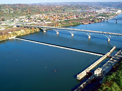
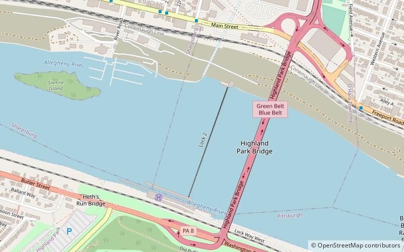
The Allegheny River Lock and Dam No. 2 in Pittsburgh, Pennsylvania is a lock and fixed-crest dam from 1932. It crosses the Allegheny River between the Pittsburgh neighborhood of Highland Park and the suburb of Aspinwall. The lock and dam were built by the U.S. Army Corps of Engineers as a part of an extensive system of locks and dams to improve navigation along the Allegheny River. It is the most-used lock operated by the United States Army Corps of Engineers. ()
Coordinates: 40°29'24"N, 79°54'51"W
Address
SharpsburgPittsburgh
ContactAdd
Social media
Add
Day trips
Allegheny River Lock and Dam No. 2 – popular in the area (distance from the attraction)
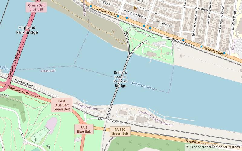
Nearby attractions include: Pittsburgh Zoo & PPG Aquarium, Highland Park, Highland Park Bridge, Brilliant Branch Railroad Bridge.
Frequently Asked Questions (FAQ)
Which popular attractions are close to Allegheny River Lock and Dam No. 2?
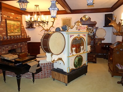
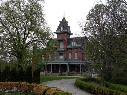
Nearby attractions include Highland Park Bridge, Pittsburgh (4 min walk), Pittsburgh Zoo & PPG Aquarium, Pittsburgh (13 min walk), Brilliant Branch Railroad Bridge, Pittsburgh (14 min walk), Bayernhof Music Museum, Pittsburgh (15 min walk).
How to get to Allegheny River Lock and Dam No. 2 by public transport?
The nearest stations to Allegheny River Lock and Dam No. 2:
Bus
Bus
- Main St at 23rd St • Lines: 1 (7 min walk)


