East Garfield Park, Chicago
Map
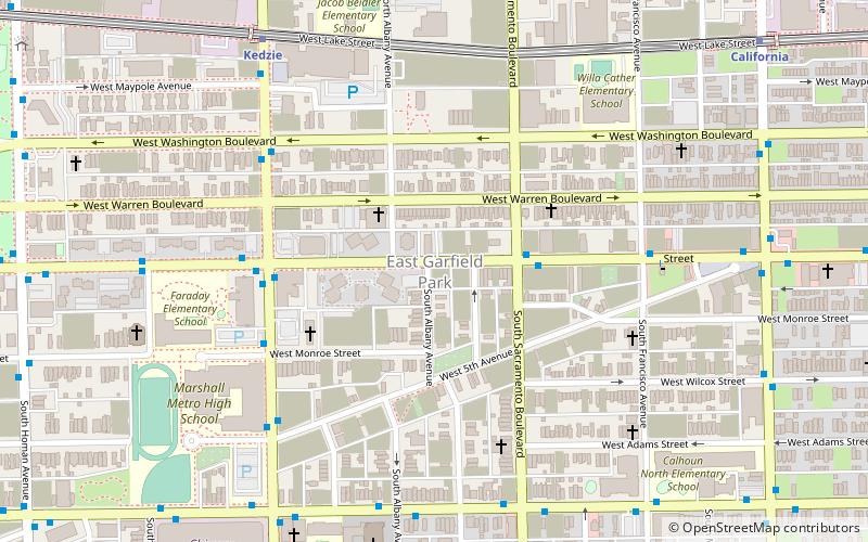
Map

Facts and practical information
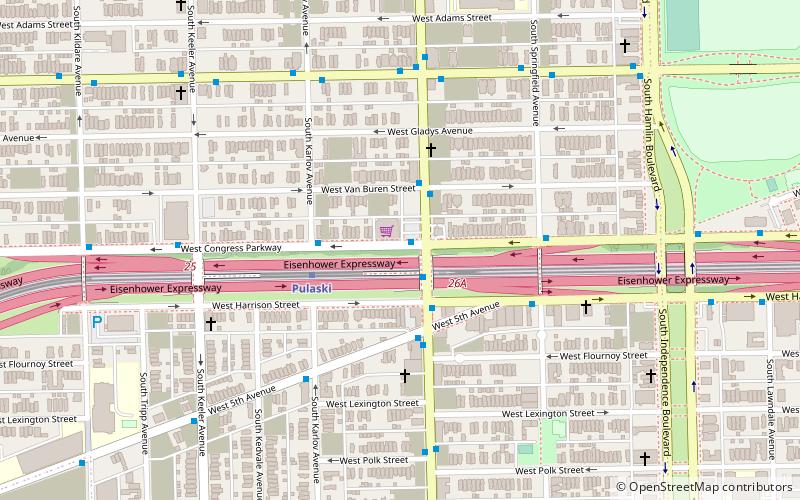
East Garfield Park is on the West Side of Chicago, Illinois, west of the Loop. ()
Address
West Side (East Garfield Park)Chicago
ContactAdd
Social media
Add
Day trips
East Garfield Park – popular in the area (distance from the attraction)
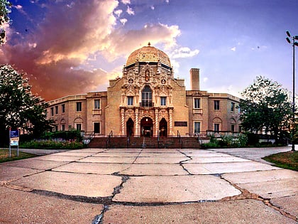
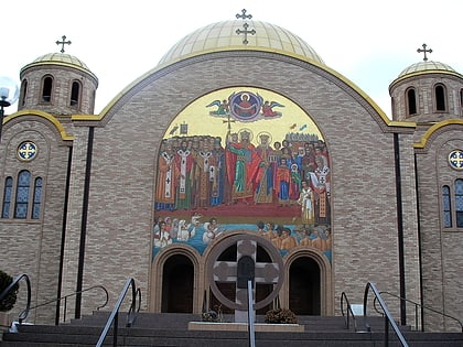
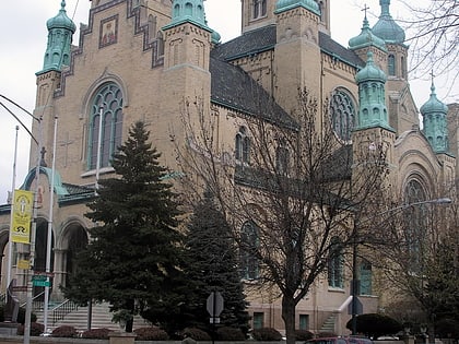
Nearby attractions include: Garfield Park Conservatory, Garfield Park, Sts. Volodymyr and Olha Ukrainian Catholic Church, St. Nicholas Cathedral.
Frequently Asked Questions (FAQ)
Which popular attractions are close to East Garfield Park?
Nearby attractions include Our Lady of Sorrows Basilica, Chicago (8 min walk), Chicago Telephone Company Kedzie Exchange, Chicago (11 min walk), Garfield Park, Chicago (19 min walk), Lucy Flower Technical High School for Girls, Chicago (20 min walk).
How to get to East Garfield Park by public transport?
The nearest stations to East Garfield Park:
Bus
Metro
Train
Bus
- Madison & Albany • Lines: 20, (N) N20 (1 min walk)
- Kedzie & Madison • Lines: 52 (5 min walk)
Metro
- Kedzie • Lines: Green (8 min walk)
- California • Lines: Green (11 min walk)
Train
- Kedzie (14 min walk)
- Western Avenue (25 min walk)

 Rail "L"
